
Vorsicht bei YouTube-Videos: Man muss nicht alles glauben, was man sieht. Oft ist es nur ein gut gemachter Fake!
Weitere Unterabschnitte: Straße | Straße 2 | Straße 3 | Schiene | Wasser | Luft | Luft 2
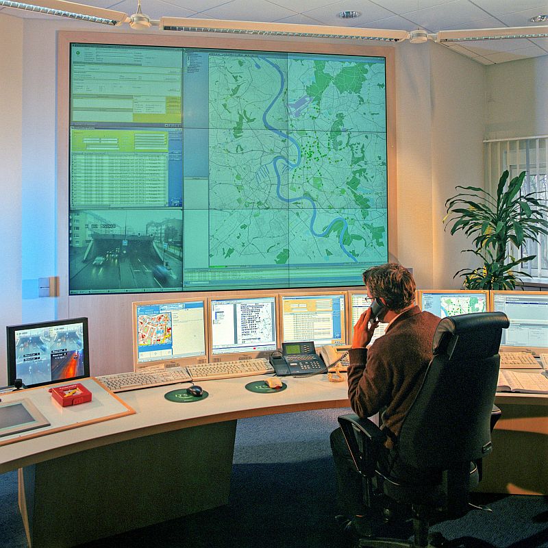
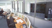
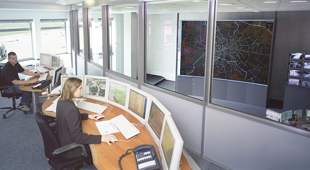
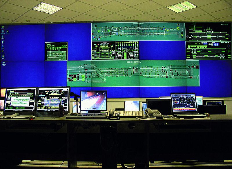
Verkehrsleitsysteme
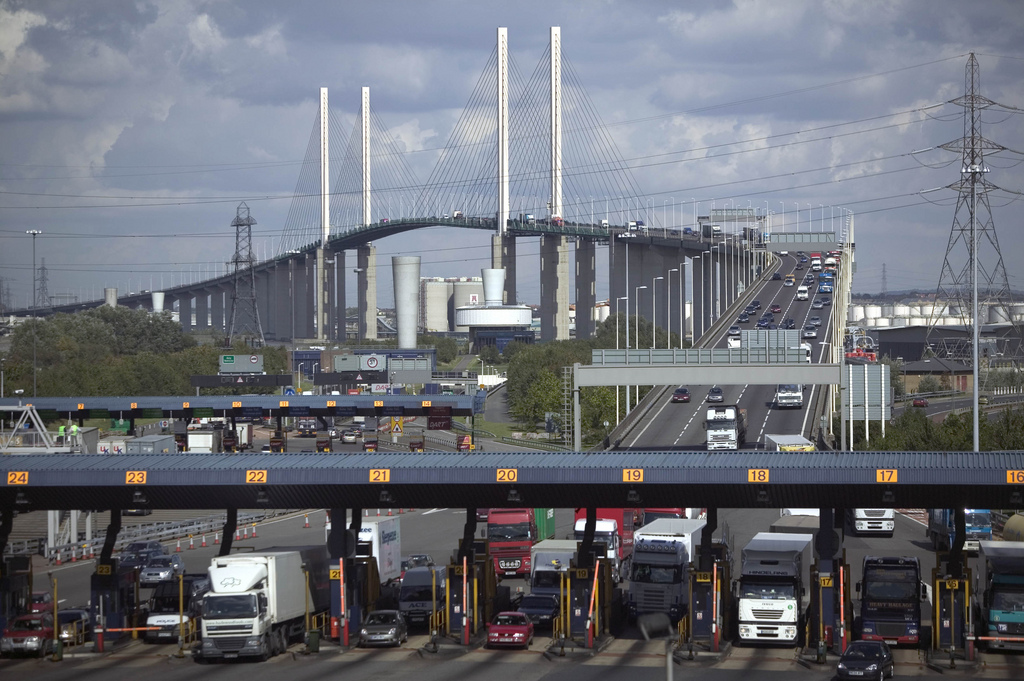
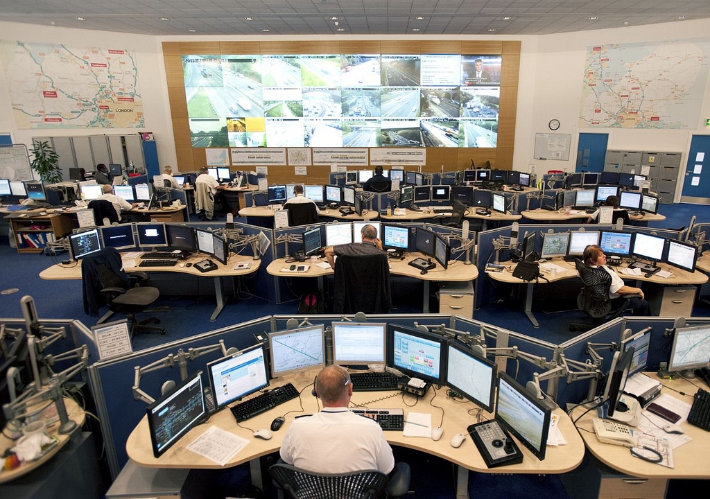
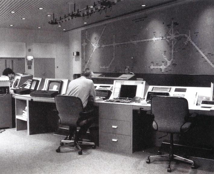
Highways Agency – Flickr
-
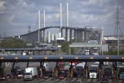
- M25, Dartford Crossing on the QE2 Bridge
-
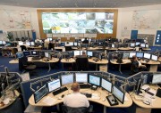
- South Mimms Regional Control Centre, 2009
-
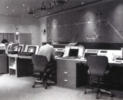
- Chigwell control centre, 1986
-

- Traffic Officer operator
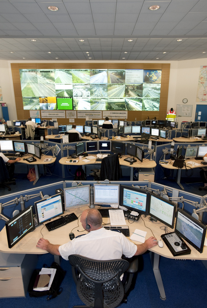
Bild: Highways Agency
Transportation modeling
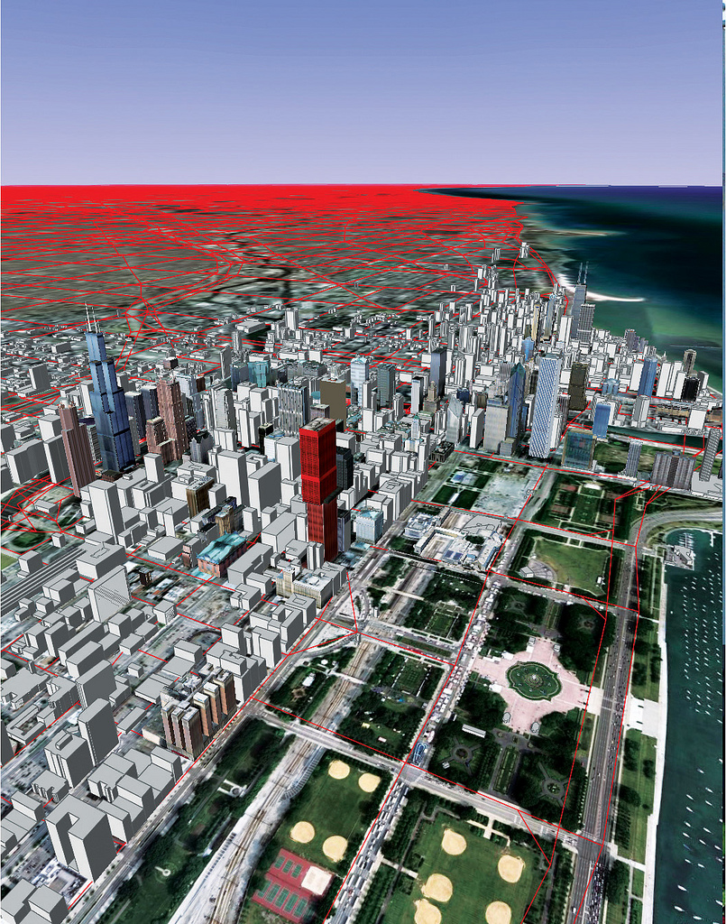
The red lines on this map of Chicago represent the different roads modeled by the TRANSIMS software program at Argonne National Laboratory's Transportation Research and Analysis Computing Center. The model has great resolution in the downtown area, but also incorporates a network of highways and thoroughfares that extends from Milwaukee to Kankakee and from Lake Michigan out to Rockford . Read the full story.
Tempolimit…
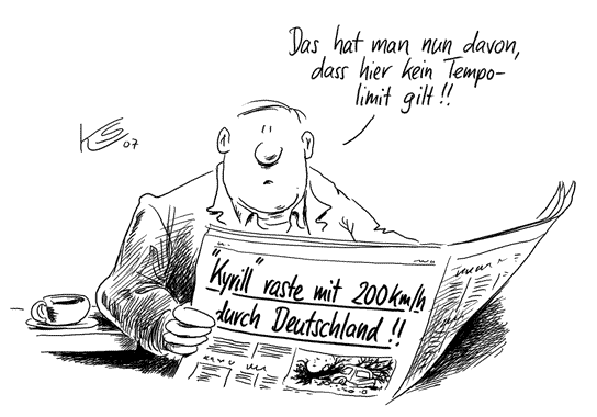
Klaus Stuttmann Karikaturen - 19.01.2007
Bild: Verkleinertes Original mit freundlicher Genehmigung Klaus Stuttmann
Die unberechtigte Nutzung ist nicht gestattet.
Die unberechtigte Nutzung ist nicht gestattet.
Siemens AG – Pressebilder
-
- Kommunikationssystem Sitraffic Canto von Siemens

-
- Verkehrsleittechnik von Siemens für die türkische Schwarzmeerküste

-
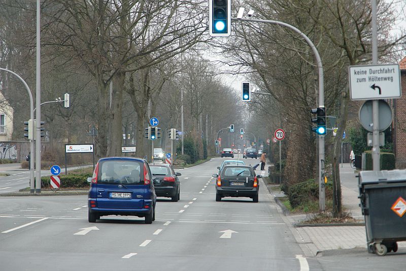
- Die adaptive Netzsteuerung Sitraffic Motion stellt in Münster ihre Überlegenheit unter Beweis
-
- Sitraffic von Siemens – Berücksichtigung der Luftqualität in Echtzeit für eine umweltgerechte Verkehrssteuerung
-
- GPS-Taxis als Informationsquelle für Verkehrsinformationssystem von Siemens

-

- Intelligente Verkehrsführung in den Städten Europas
-
- Neue Verkehrsregelungszentrale von Siemens
-

- Ausrüstung für den Tunnel
-
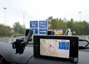
- Erfolgreicher Test in Linz – Verkehrswegweiser
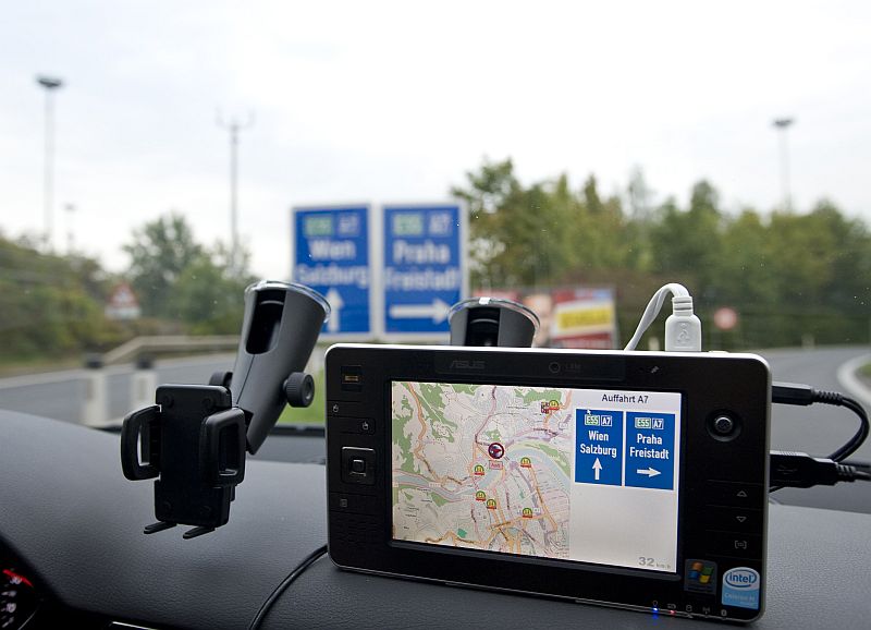
-
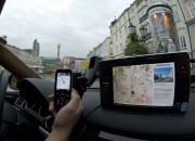
- Erfolgreicher Test in Linz – Beim Vorbeifahren: Info im Display

-
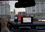
- Erfolgreicher Test in Linz – Aktuelle Verkehrsinformationen
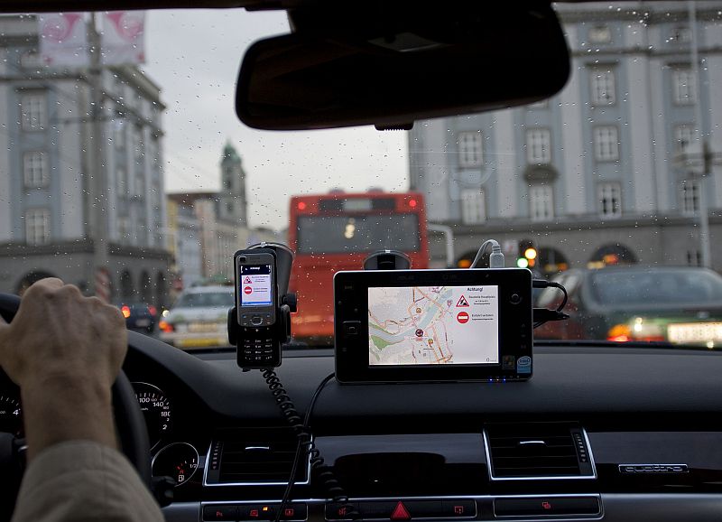
-
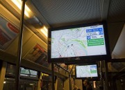
- Erfolgreicher Test in Linz – Infos im Bus %u2013 auch für die Navigation

-
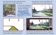
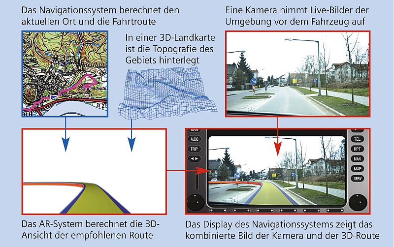
- Augmented Reality-Navigation im Shuttlebus
The famous Shibuya crosswalk
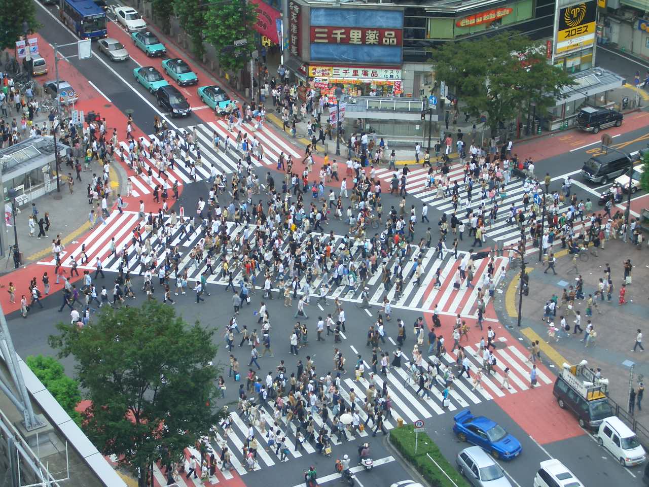
Bild: Telstar Logistics