
ISS 28-4-11 2242
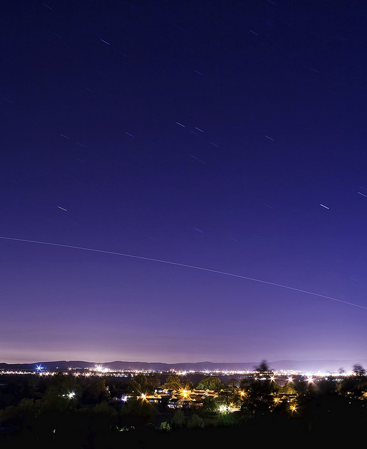
Another close pass over the central belt in Scotland from the International Space Station tonight
Bild: delphwynd
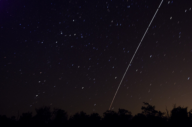
ISS with Cassiopeia and Andromeda
Japanese HTV arrives at ISS

Bild: infringer1
NASA
NASA’s Marshall Space Flight Center – Flickr
-
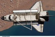
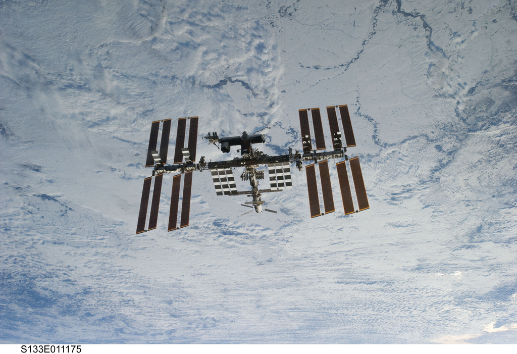
- Space Shuttle Discovery Over Earth (NASA, International Space Station, 03/07/11)

-
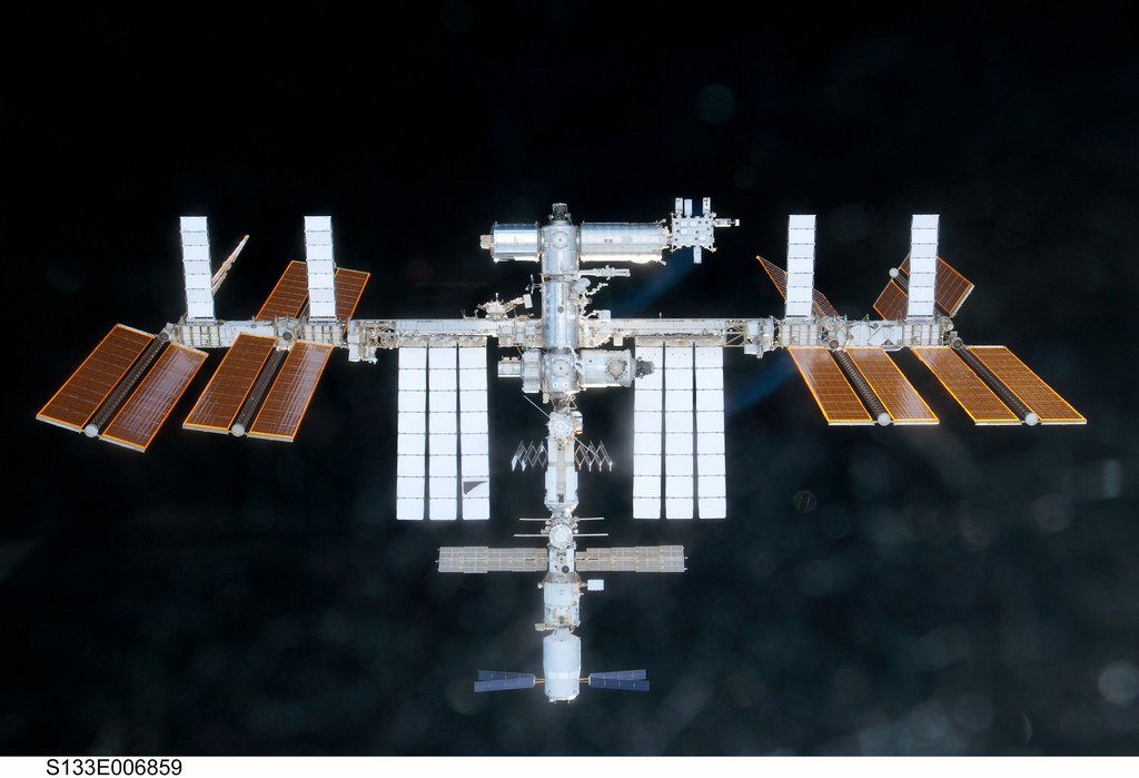
- International Space Station (NASA, 02/26/11)
Space Station Over Earth (NASA, International Space Station, 03/07/11)
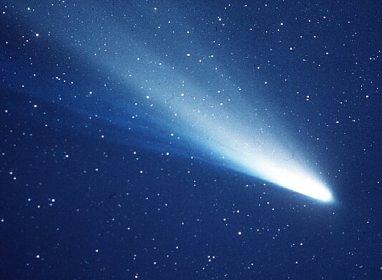
Halley’s Comet
Curiosity – The Next Mars Rover

Bild: NASAblueshift
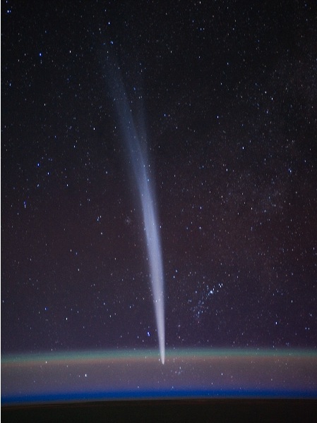
Comet Lovejoy from the ISS
Looking Inside Hurricane Rina
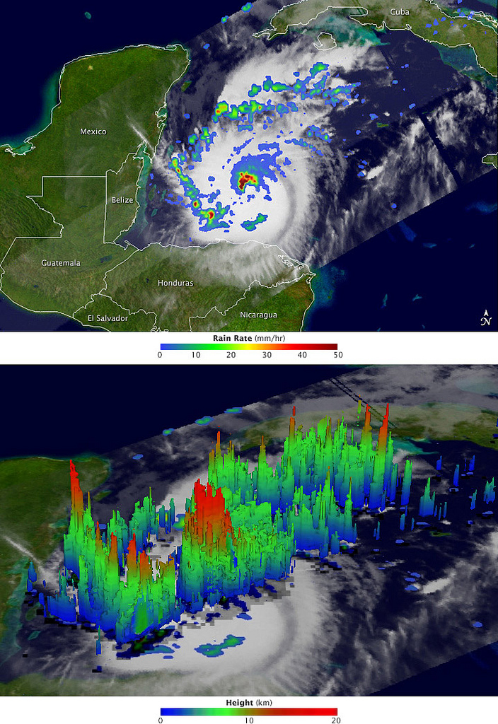
After a two-week period without any named storms, the 2011 Atlantic hurricane season revived in late October with the arrival of Hurricane Rina. The storm, which began as a tropical depression on October 23 in the western Caribbean, is adding misery and destruction to a region that has been battered by heavy rain and flooding events.
The Tropical Rainfall Measuring Mission (TRMM) collected these images of Rina at 8:06 Universal Time (3:06 am Central Daylight Time) on October 26, 2011, while located about 200 miles (330 kilometers) east of Belize. The top image shows a nadir, or straight down, view of rain intensities within Rina. Rain rates in the center of the field of view (or swath) are measured by the TRMM Precipitation Radar (PR). Those in the outer edges of the swath come from the TRMM Microwave Imager (TMI). Rain rates are overlaid on visible and infrared data from the TRMM Visible Infrared Scanner.
Bild: NASA Earth Observatory
Tropical Cyclone Jasmine

By February 8, 2012, Tropical Cyclone Jasmine had traveled eastward past the island of New Caledonia. The Moderate Resolution Imaging Spectroradiometer (MODIS) on NASA’s Terra satellite captured this natural-color image at 9:45 a.m. local time on February 9, 2012.
That day, the U.S. Navy’s Joint Typhoon Warning Center (JTWC) reported that Jasmine had maximum sustained winds of 105 knots (195 kilometers per hour) and gusts up to 130 knots (240 kilometers per hour). Located roughly 510 kilometers (275 nautical miles) east-southeast of Noumea, New Caledonia, the storm was expected to continue moving in an eastward direction and to weaken.
NASA image courtesy Jeff Schmaltz, LANCE/EOSDIS MODIS Rapid Response Team at NASA GSFC. Caption by Michon Scott.
Bild: NASA Earth Observatory
Live Hacking – so brechen Hacker in IT-Netze ein

Live Hacking — so brechen Hacker in IT-Netze ein @ITandBusinessDE – YouTube
6 August 2012 POLICE are monitoring and analysing social media sites such as Facebook and Twitter in order to anticipate and prevent crime.
01.08.2012 Die Bundesregierung will bis Anfang nächsten Jahres zunächst testweise ein Internet-Portal mit frei zugänglichen Behördendaten von Bund, Ländern und Gemeinden einrichten.
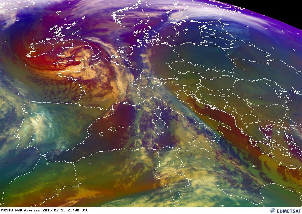
Erklärung der verschiedenen Falschfarbendarstellungen (nur englisch):
Erklärung der verschiedenen Falschfarbendarstellungen (nur englisch):
EUMETSAT IPPS animation –
-
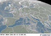
- EUMETSAT Latest Images VIS 0.6 Central Europe Color

-

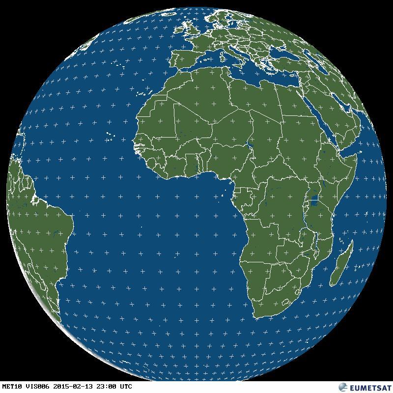
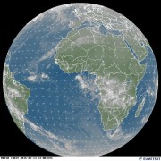
- EUMETSAT Latest Images VIS Weltkugel
EUMETSAT IPPS animation –
-
- EUMETSAT Latest Images IR 3.9 Central Europe Color

-
- EUMETSAT Latest Images RGB Composites Dust Central Europe Color

-

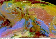
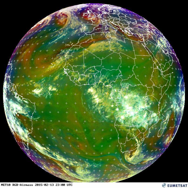
- EUMETSAT Latest Images RGB Airmass Central Europe Color
-
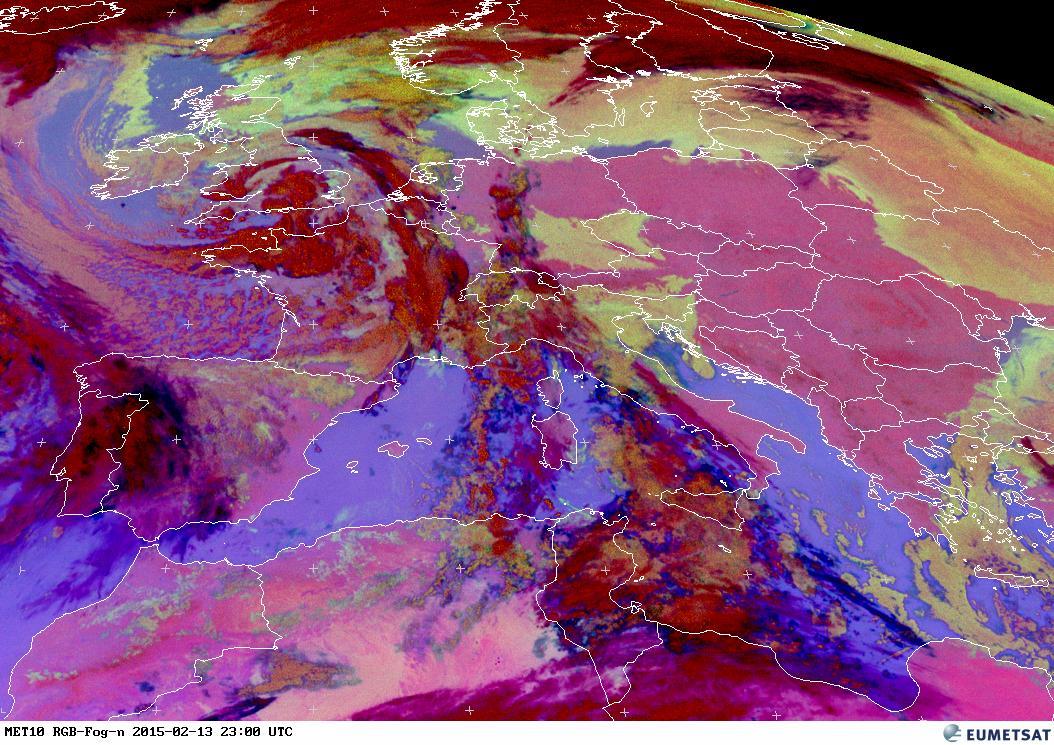
- EUMETSAT Latest Images RGB Fog Central Europe Color
-
- EUMETSAT Latest Images RGB Day Microphysics Central Europe Color

-
- EUMETSAT Latest Images RGB Natural Color Central Europe Color
-
- EUMETSAT Latest Images RGB Snow/Solar Day Central Europe

-
- EUMETSAT Latest Images MPE (Multi-Sensor Precipitation Estimate) Central Europe

-
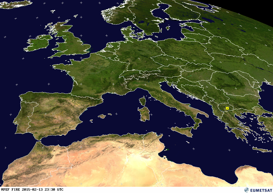
- EUMETSAT Latest Images Fire Central Europe
-
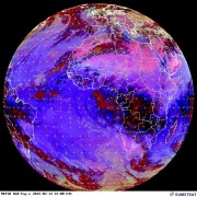
- EUMETSAT Latest Images IR (Infrarot) 3.9 Weltkugel

-
- EUMETSAT Latest Images RGB Composites Dust Weltkugel

-
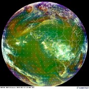
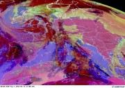
- EUMETSAT Latest Images RGB Airmass Weltkugel
-
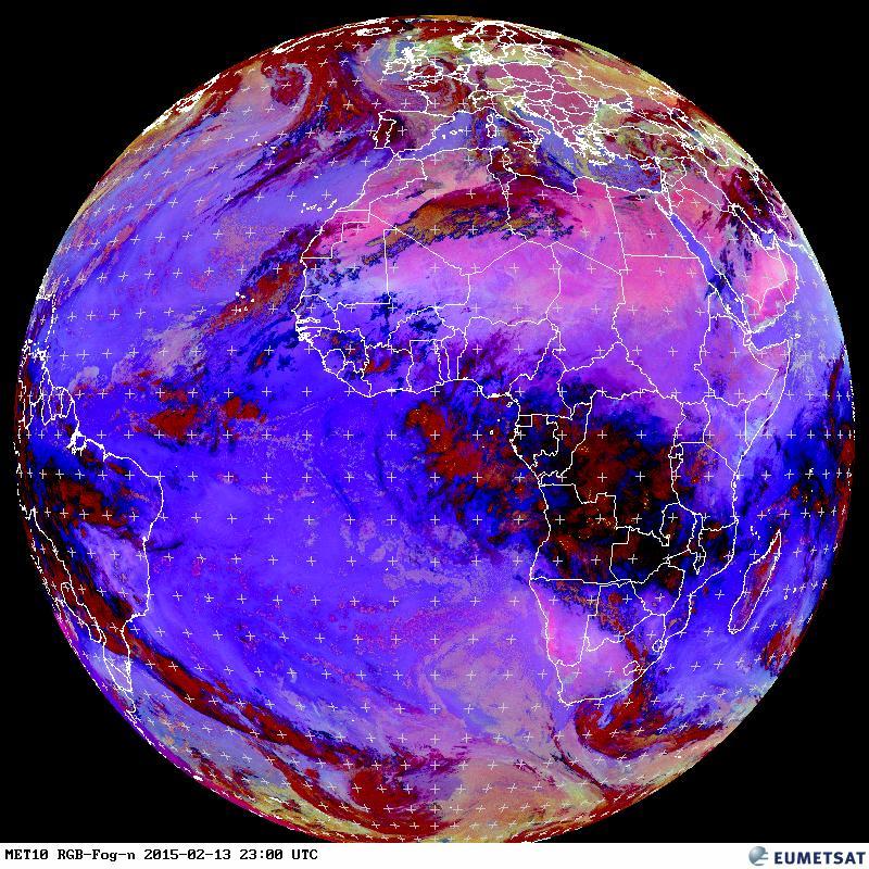
- EUMETSAT Latest Images RGB Fog Weltkugel
-
- EUMETSAT Latest Images RGB Day Microphysics Weltkugel

-
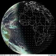
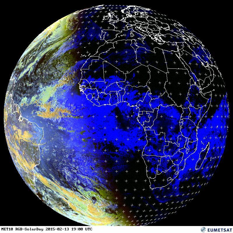
- EUMETSAT Latest Images RGB Natural Color Weltkugel

-
- EUMETSAT Latest Images RGB Snow/Solar Day Weltkugel
-
- EUMETSAT Latest Images MPE (Multi-Sensor Precipitation Estimate) Weltkugel

-

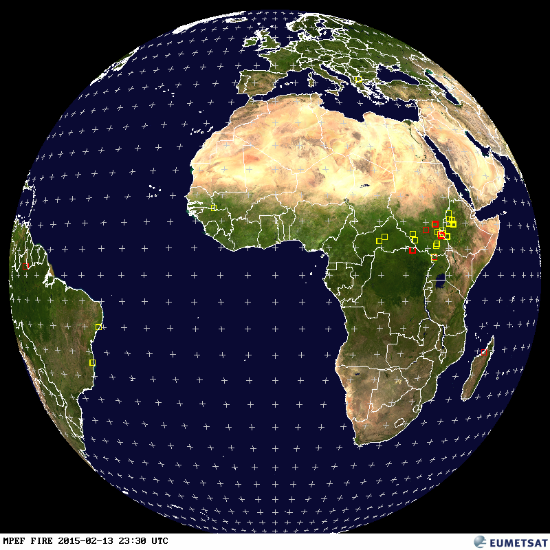
- EUMETSAT Latest Images Fire Weltkugel
-
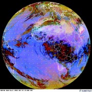
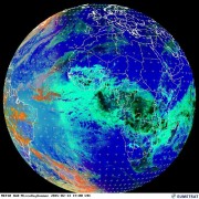
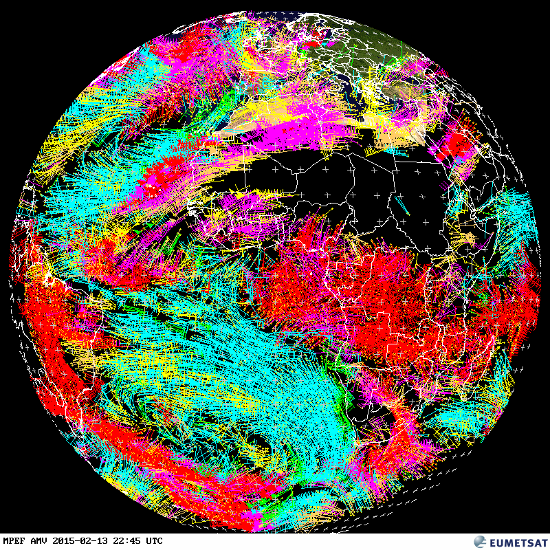
- EUMETSAT Latest Images AMV (Atmospheric Motion Vectors) Weltkugel
-
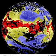
- EUMETSAT Latest Images GII (Global Instability Index) Weltkugel

-
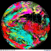
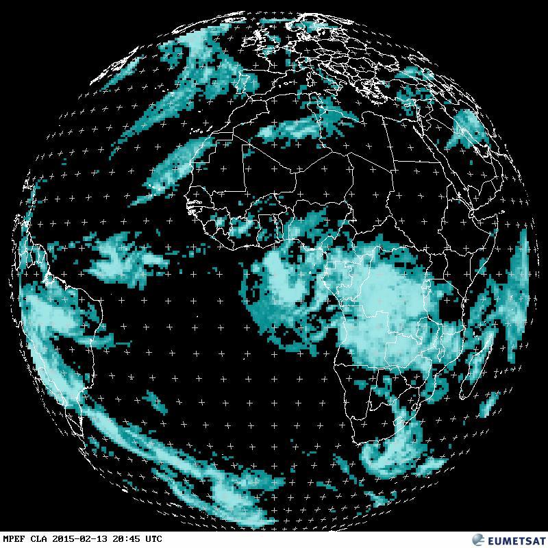
- EUMETSAT Latest Images CLA (Cloud Analysis) Weltkugel
-
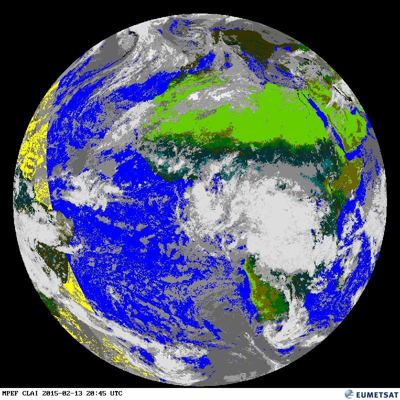
- EUMETSAT Latest Images CLAI (Cloud Analysis Image) Weltkugel
-
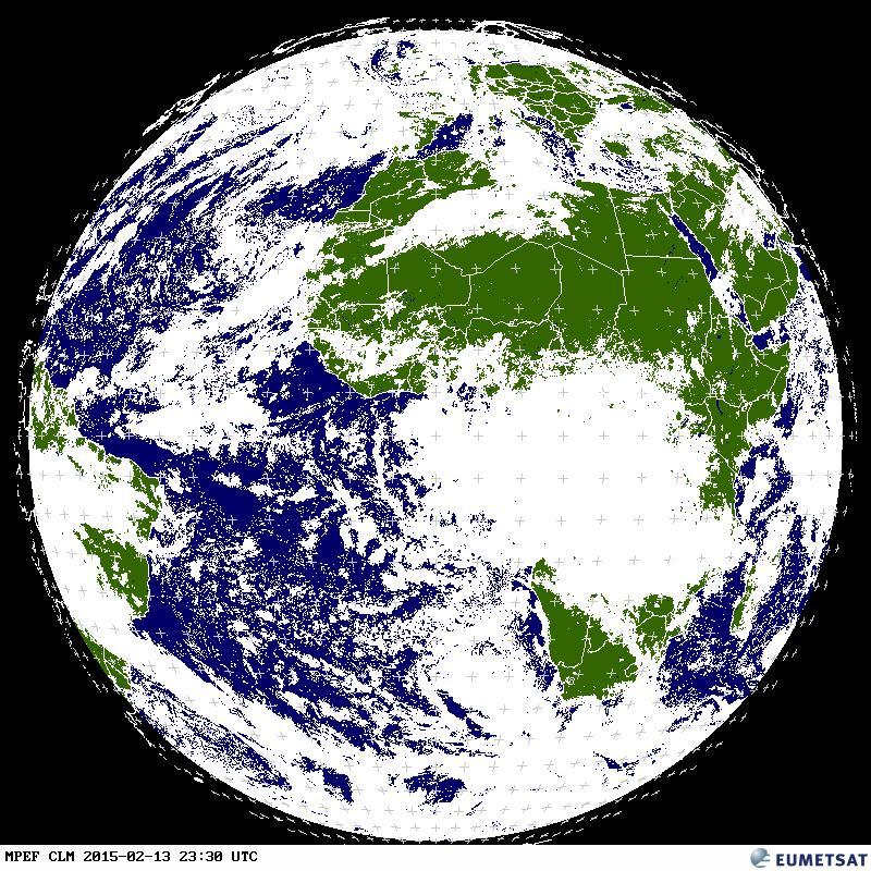
- EUMETSAT Latest Images CLM (Cloud Mask) Weltkugel
-
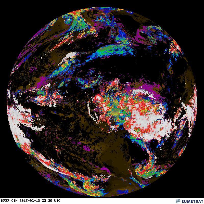
- EUMETSAT Latest Images CTH (Cloud Top Height) Weltkugel
-
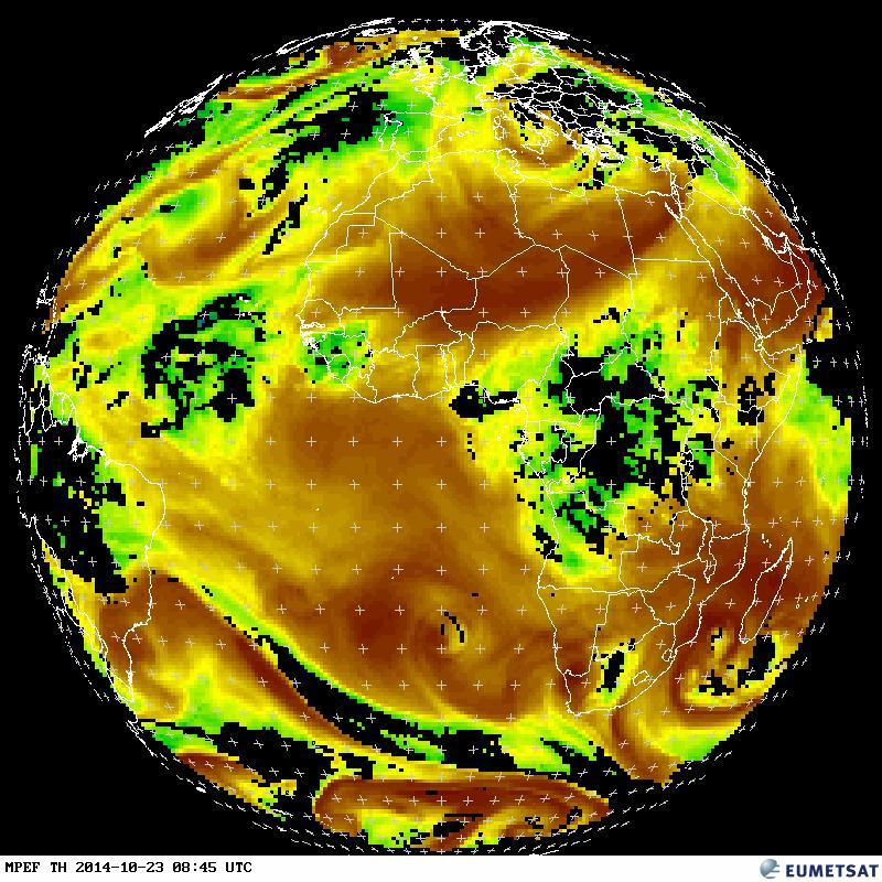
- EUMETSAT Latest Images TH (Tropospheric Humidity) Weltkugel
-
- EUMETSAT Latest Images TOZ (Total Ozone) Weltkugel

Die Nanotechnologie befasst sich mit Details, die nur Millionstel Millimeter groß sind. Rastersondenmikroskope gewähren uns einen Einblick in die Welt der Atome und Moleküle. Sie können dort zwar auch nicht sehen, aber sie tasten sich durch den Nanokosmos.