Energie
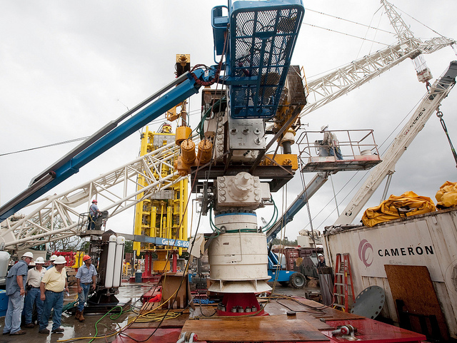
BP Oil Spill – Landing & Latching of Capping Stack (edited)
Chemikalien sollen das Öl zersetzen
Greenpeace Occupies Stena Don, to Halt Arctic Drilling
Interxion : Sechstes Rechenzentrum für Datenverkehr | Frankfurt – Frankfurter Rundschau
Interxion : Sechstes Rechenzentrum für Datenverkehr | Frankfurt – Frankfurter Rundschau
Interxion verfügt inzwischen über 200.000 Quadratmeter Rechenzentrumsfläche in Europa, davon 15.000 Quadratmeter in Frankfurt.
Knapp beschreibt die sechs Rechenzentren als „riesiges Spinnennetz“, in dem sich die 150 Kunden von Interxion wechselseitig vernetzen. Allein auf dem Campus an der Hanauer Landstraße liegen rund 5000 Kilometer Glasfaser, über die die Hochleistungsrechner verbunden sind. „Die Vernetzung wächst exponentiell“, sagt Knapp, jedes Jahr kommen rund 1000 neue Verbindungen hinzu.
Die Infrastruktur für Datenaustausch, Betrieb und Pflege der Datenautobahnen kostet Energie. Mit dem Stromverbrauch der sechs Rechenzentren von Interxion könnte eine Stadt mit 110.000 Einwohnern versorgt werden. Und um die Rechner ausreichend zu kühlen, erbringt die Klimaanlage auf dem Campus die Leistung von 110000 Haushalts-Kühlschränken.
Quelle: Interxion : Sechstes Rechenzentrum für Datenverkehr | Frankfurt – Frankfurter Rundschau
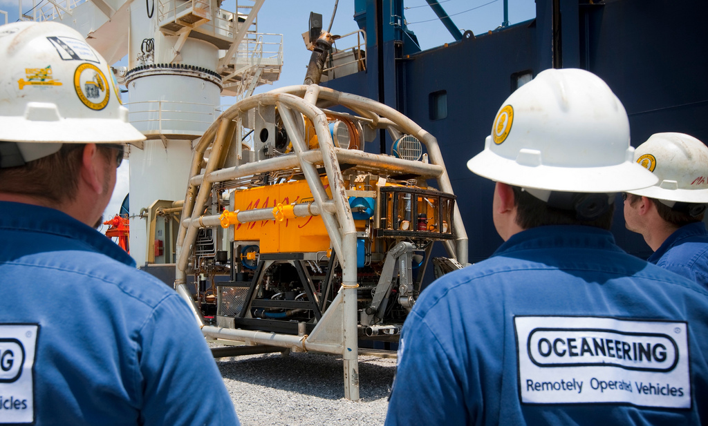
Doug Suttles visits ROV (Remote Operated Vehicle) vessel
uscgd8 – Flickr
-

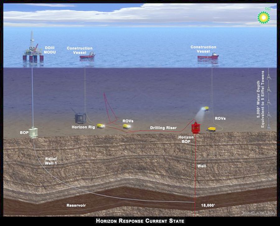
- 2010-04-27 BP_Horizon Response Current State(2)
-

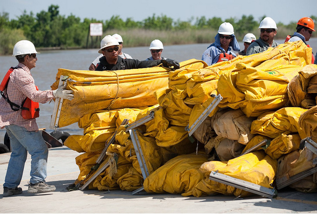
- Contracted workers from U.S. Environmental Services organize boom for deployment
-
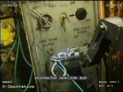
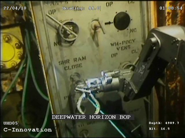
- ROV attempting to activate Deepwater Horizon Blowout Preventer
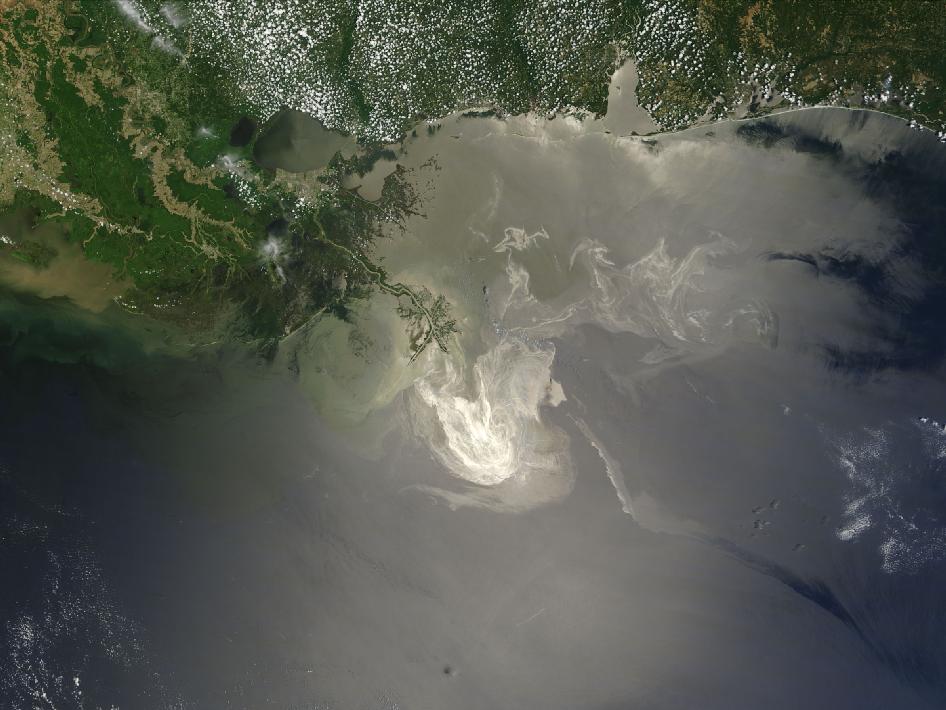
NASA’s Terra Satellites Sees Spill on May 24
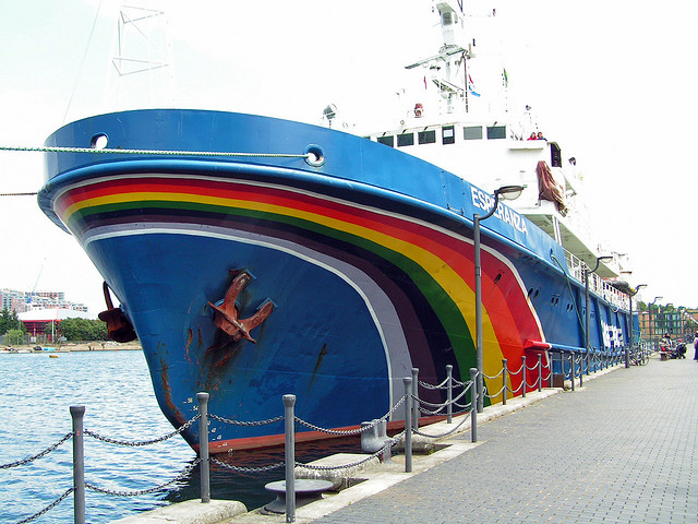
Esperanza
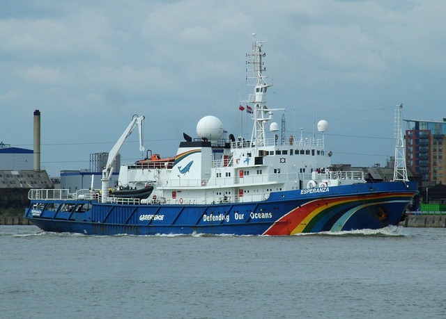
M.V.Esperanza
Lichterwelt im Mikrokosmos – Bild

Lichterwelt im Mikrokosmos – Mediendienst 06-2010-Thema 6 – Fraunhofer-Gesellschaft
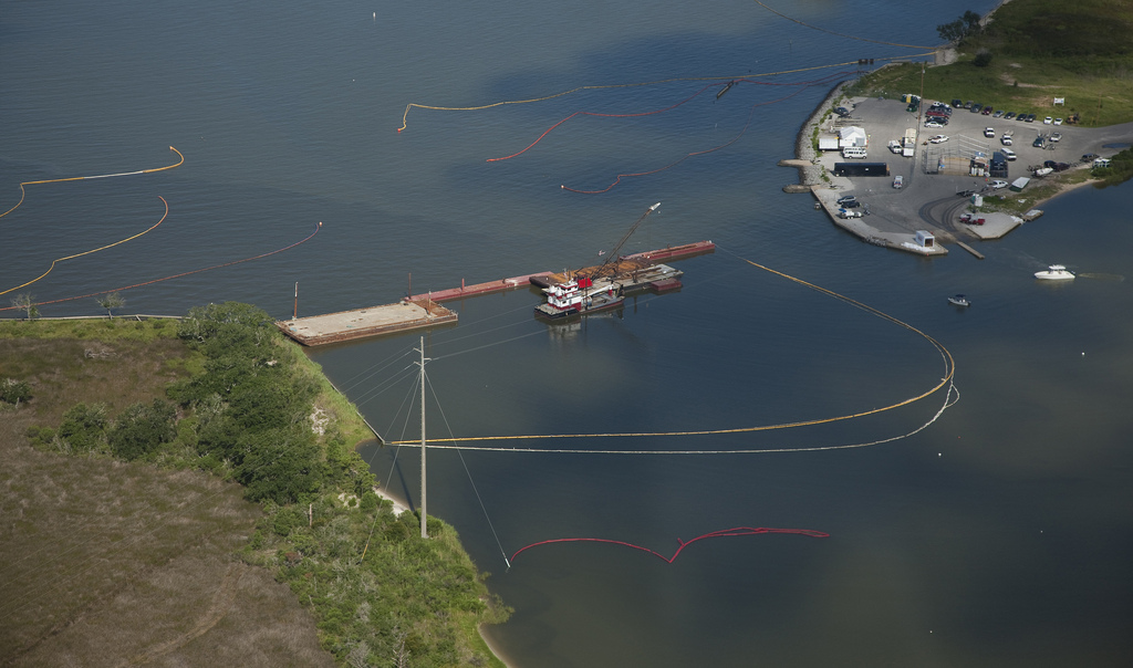
Aerial photographs taken of booming operations 1
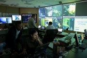
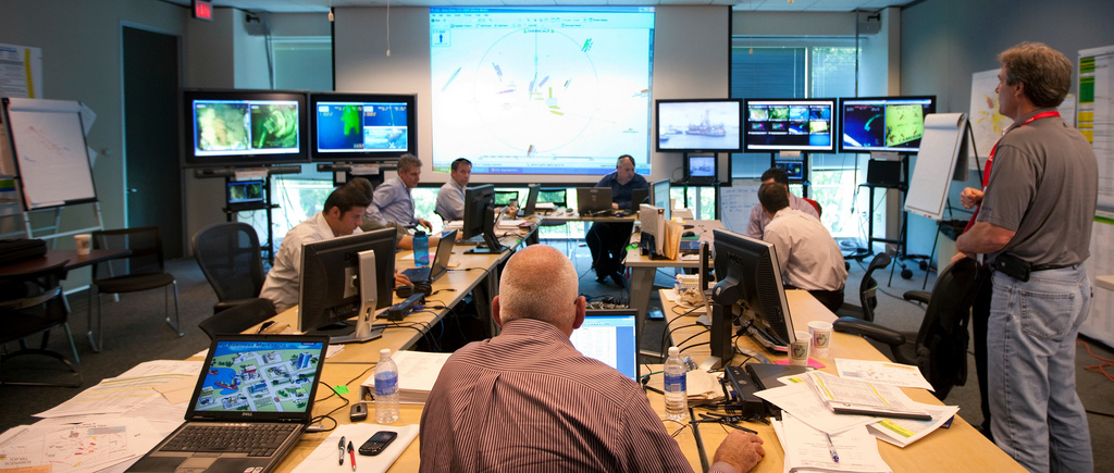
Altered Image of HIVE Command Center
Das von BP retouchierte Foto, das an die Presse gegeben wurde
BP America – Flickr
-
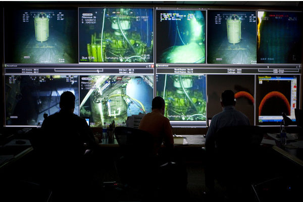
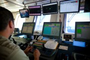
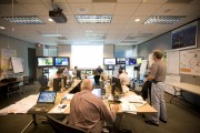
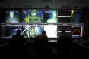
- HIVE ROV Control Room 1

-
- Images from the bridge OnBoard Q4000 during the "Static Kill"

-

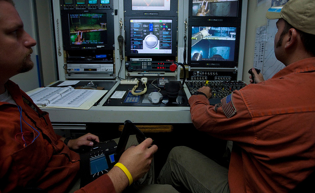
- ROV Shack onboard the Transocean Development Drille
-
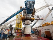
- Capping stack BOP is being readied for shipment 1
-
- Sim Ops Original Image

-

- Altered Image of Sim Ops Room
-
- Original Image of HIVE Command Center

Deepwater Horizon Response – Flickr
-
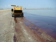
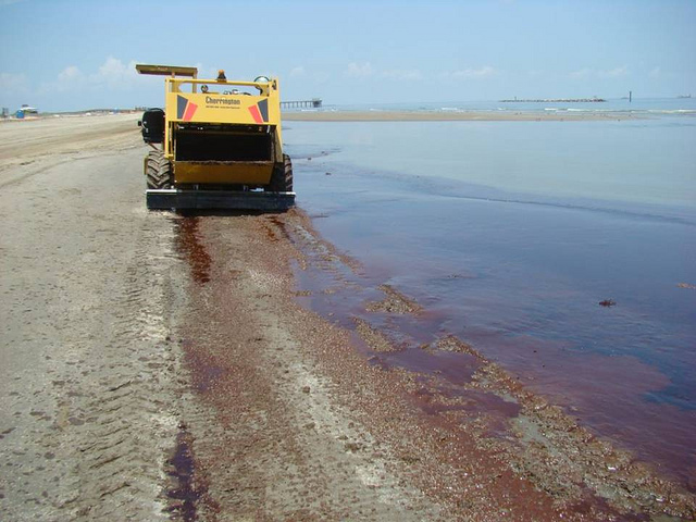
- Beach Clean-Up Vehicles
-
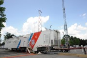
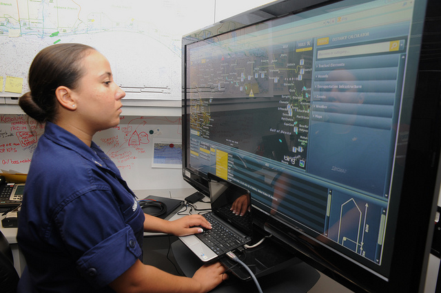
- Enhanced Mobile Incident Command Post

-
- Enhanced Mobile Incident Command Post
lagohsep – Flickr
-

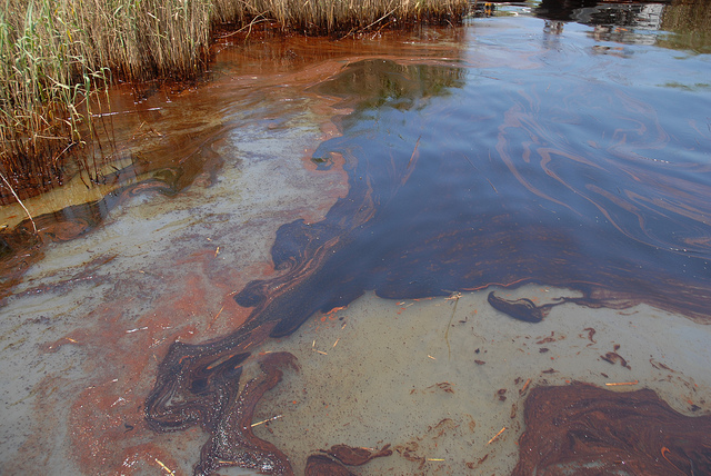
- Oil Impacts PAL, May 19, 2010
-

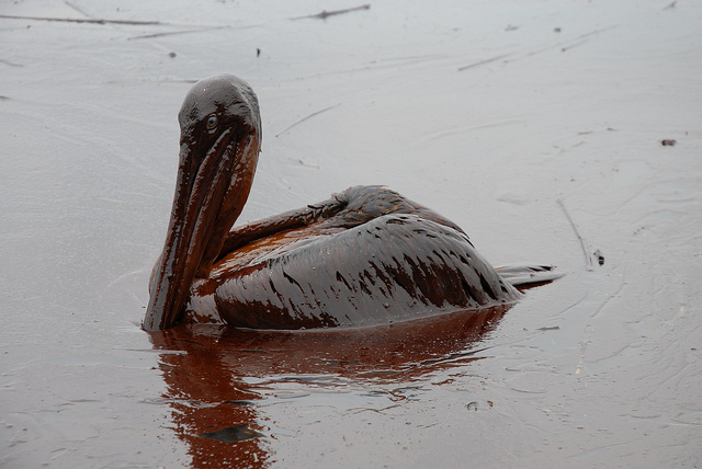
- Oiled Pelicans
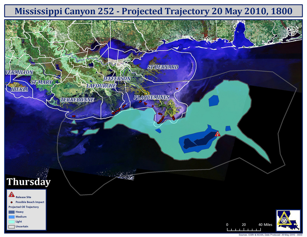
Mississippi Canyon May 20 1800IM