-
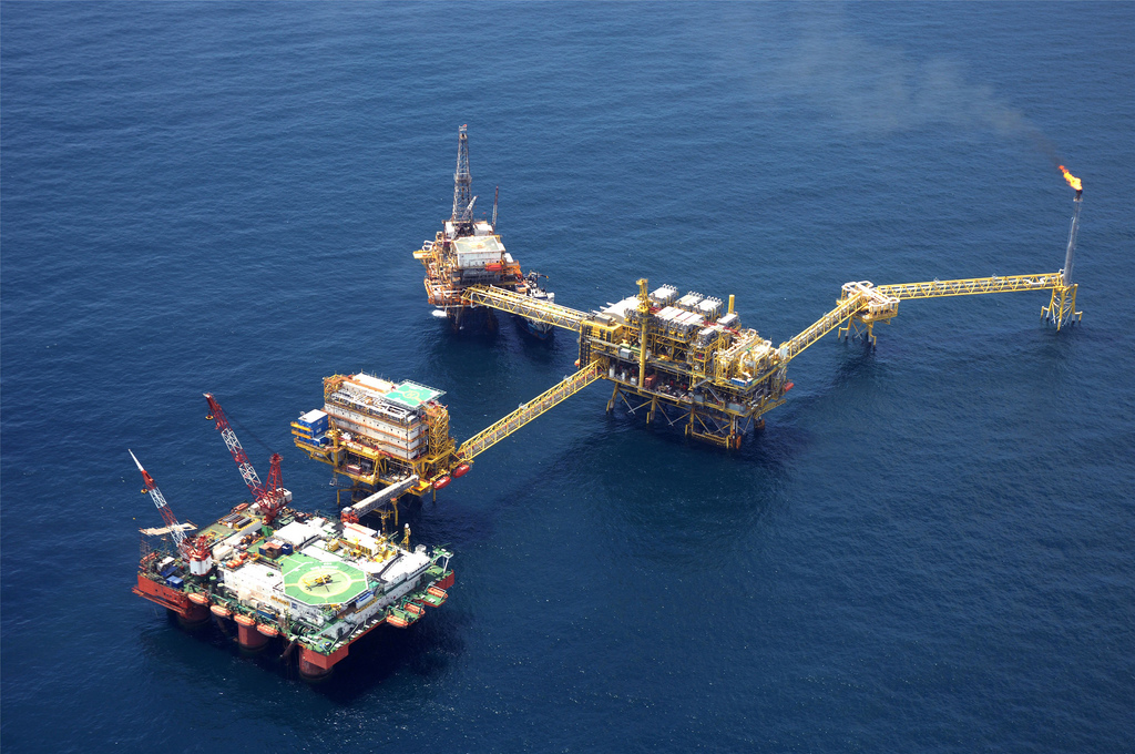
- PB-ZAAP-C (Golf von Mexico)
-
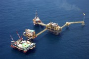
- Bohrplattformen (Golf von Mexico)
Bild: Carl Tanzler

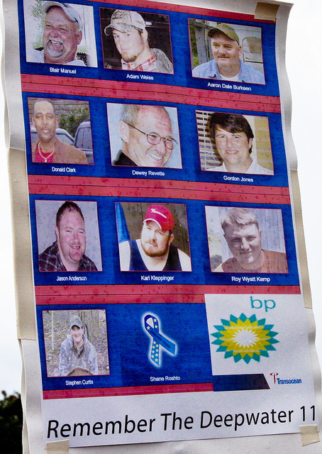
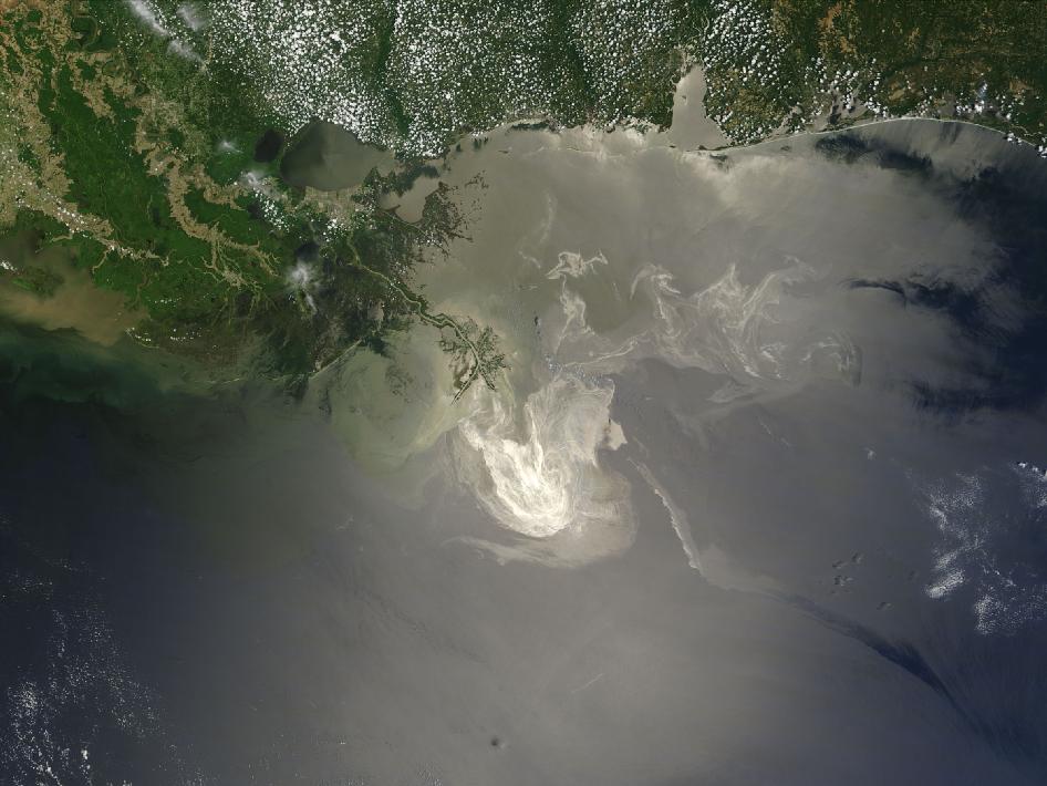
Die Deepwater Horizon war eine von dem britischen Ölkonzern BP beauftragte Ölbohrplattform im Golf von Mexiko, die am 20. April 2010 in Brand geriet und zwei Tage später unterging. 11 Arbeiter kamen bei diesem Unglück ums Leben.
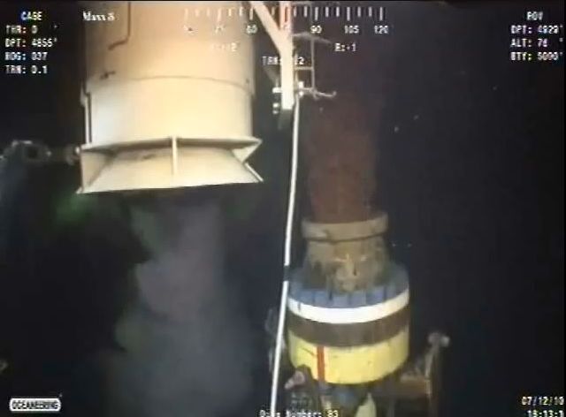
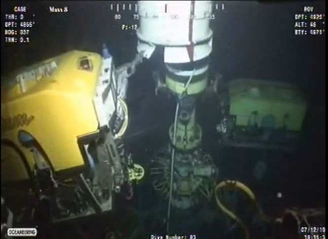
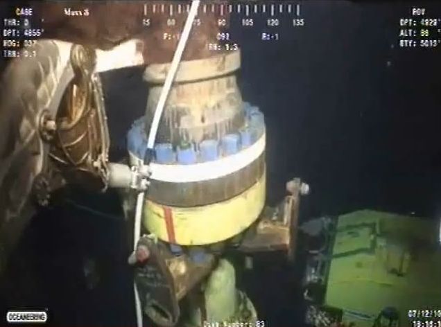
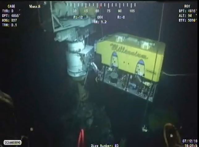
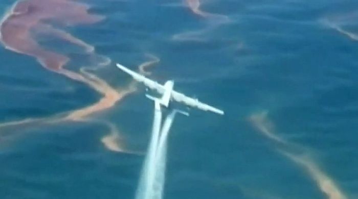
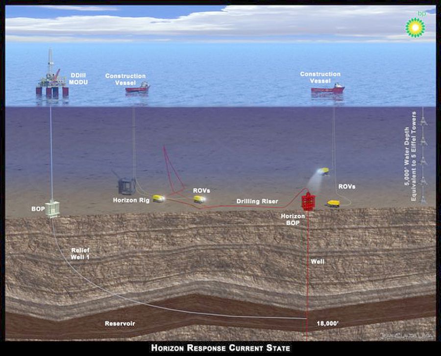
Das Bohrloch in 1.500 m Tiefe besaß – aus Nachlässigkeit und um Kosten zu sparen – keine funktionierende Sicherheitseinrichtung für den Notfall (Blowout-Preventer). Täglich strömten so bis zu 800.000 Liter Rohöl aus drei Öffnungen der Ölquelle ins Meer.
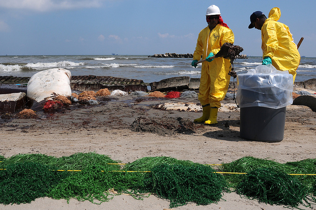
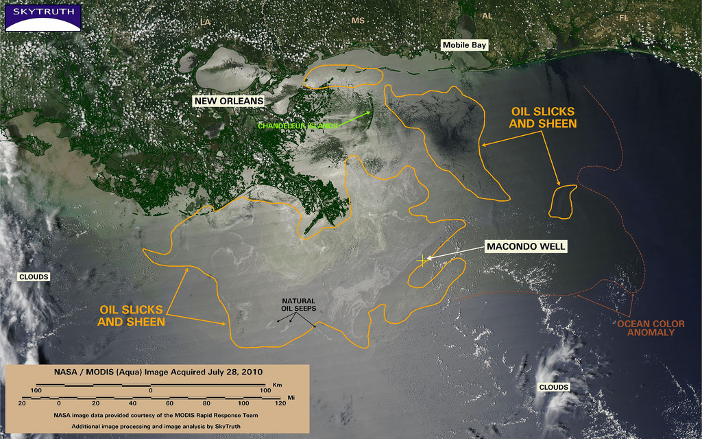
Es dauerte fast drei Monate bis der direkte Ölausfluss mit einem vorläufigen Verschluss gestoppt werden konnte. Aus dem Leck waren insgesamt etwa 660.000 Tonnen Öl ins Meer geströmt. Es ist die bislang schwerste Ölpest in der Geschichte der USA.
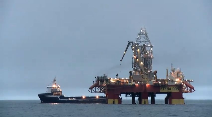
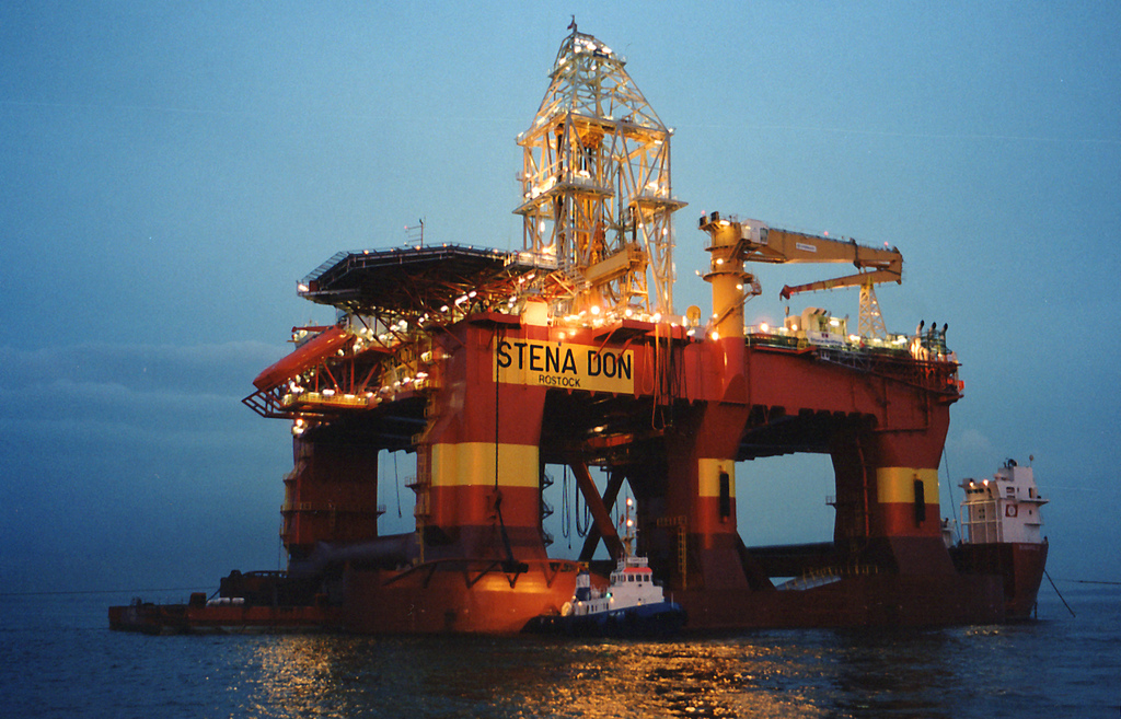
Um diese weltweit größte Ölkatastrophe einzudämmen wurden von den USA und dem britischen Ölkonzern BP alle Ressourcen mobilisiert. Die US Küstenwache richtete eine mobile Hightech-Kommandozentrale für Funk- und Satellitenkommunikation ein.
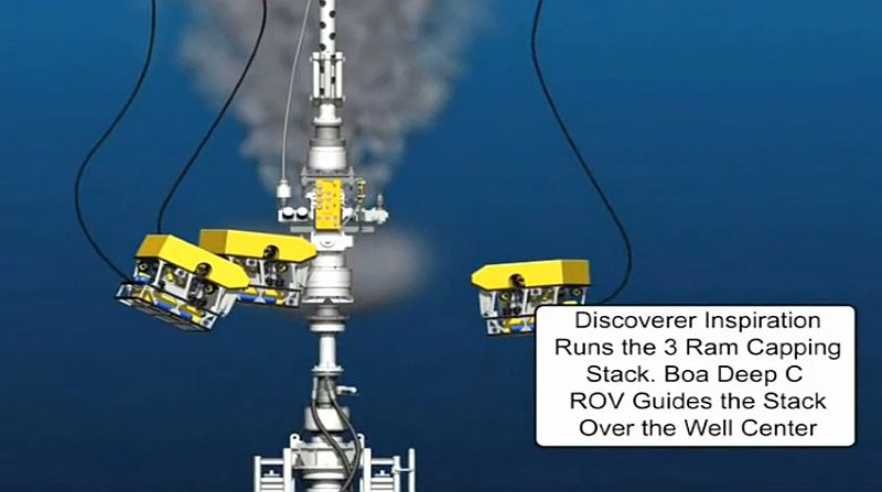
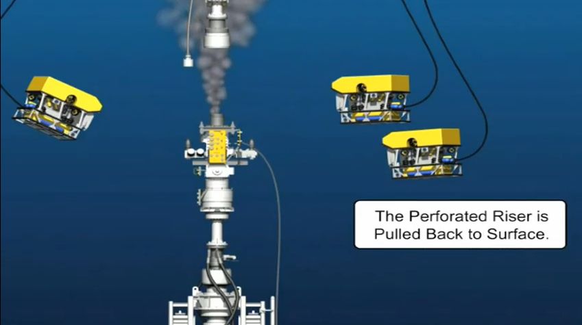
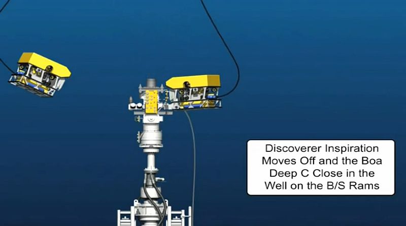
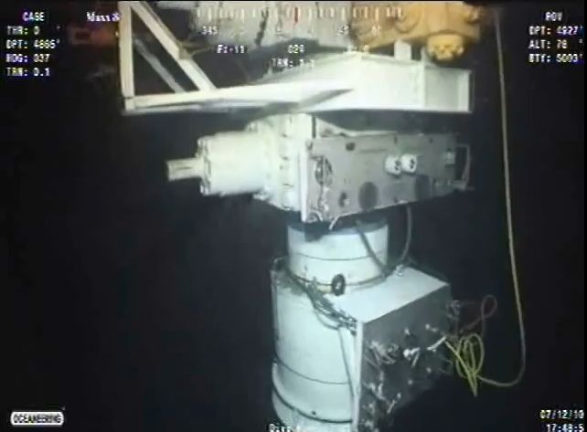
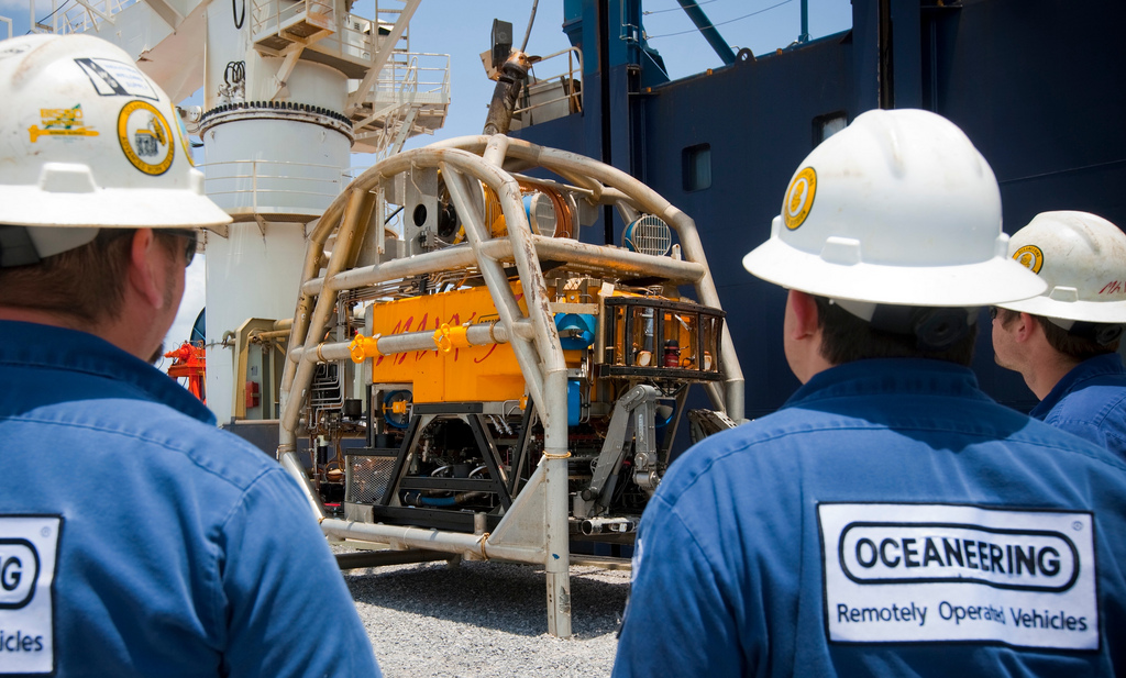
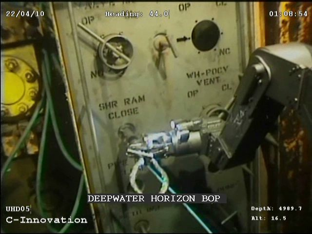
BP hatte mehrere Leitstellen für die vielfältigen Arbeiten an Land, auf den Schiffen und für die vielen (zeitweise bis zu 12) in 1.500 m unter Wasser arbeitenden Tauchroboter: ROV (Remote Operated Vehicle).
Die ROVs waren mit Scheinwerfern, Videokameras und Roboterarmen ausgestattet und wurden vom Schiff aus ferngesteuert. Alle Unterwasserarbeiten waren live am Bildschirm (und z.T. auch im Internet) zu sehen.