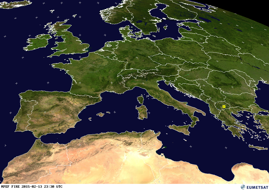
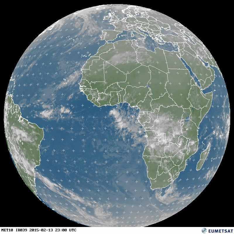
Natur und Technik > Wetter und Klima > aktuelle Daten
Weitere Unterabschnitte: aktuelle Daten | Satelliten | Klimawandel | Erdbeben - Tsunami
Hier gibt's JavaScipt-Code zum Einbau eines Wetter-Fensters in die eigene Homepage.

Hier gibt’s JavaScipt-Code zum Einbau eines Wetter-Fensters in die eigene Homepage.
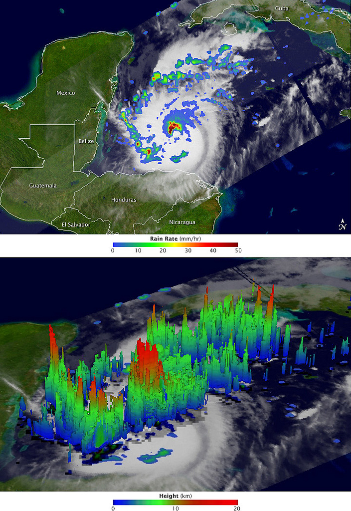
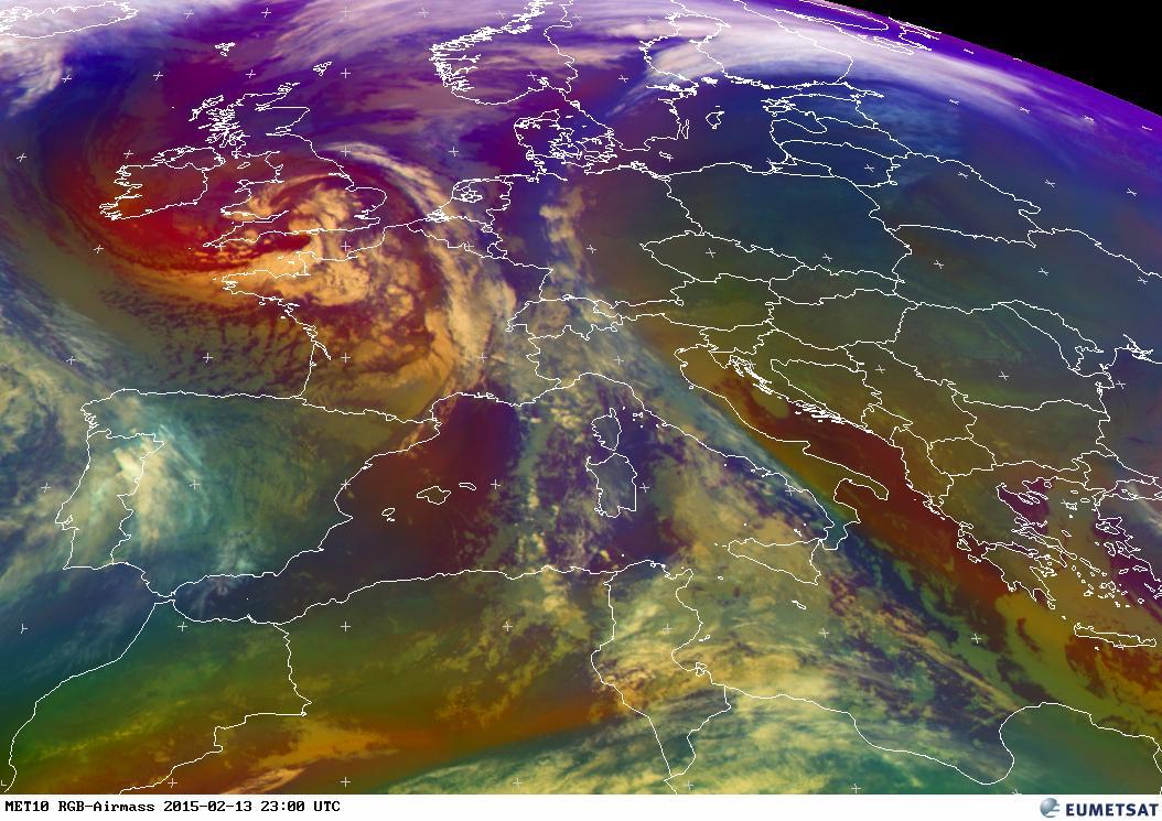
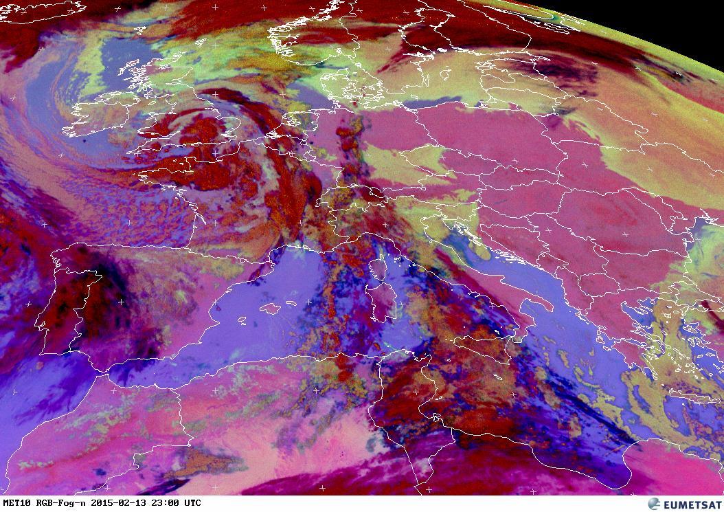
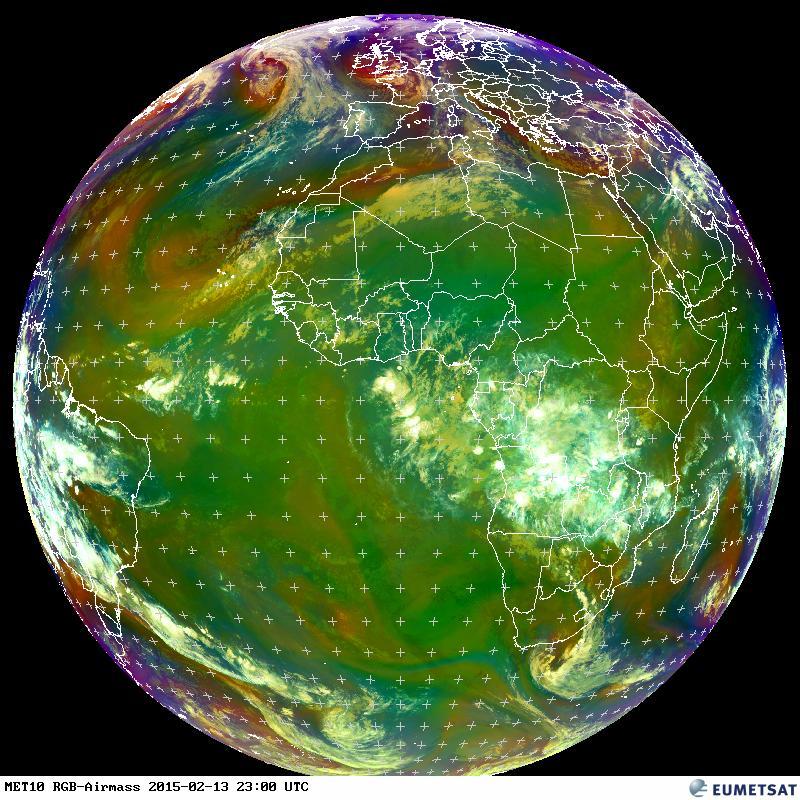
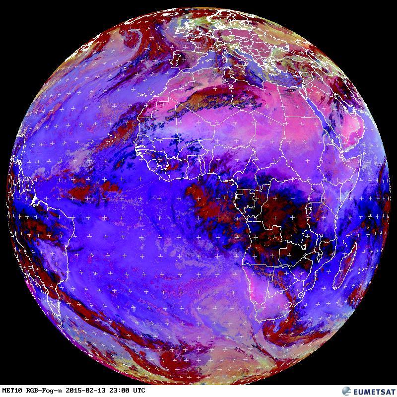
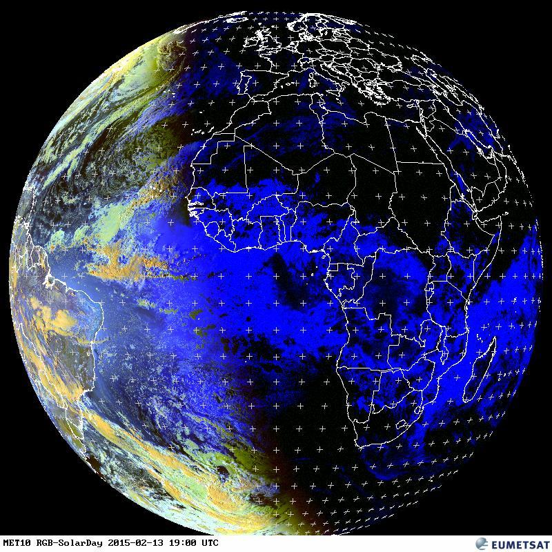
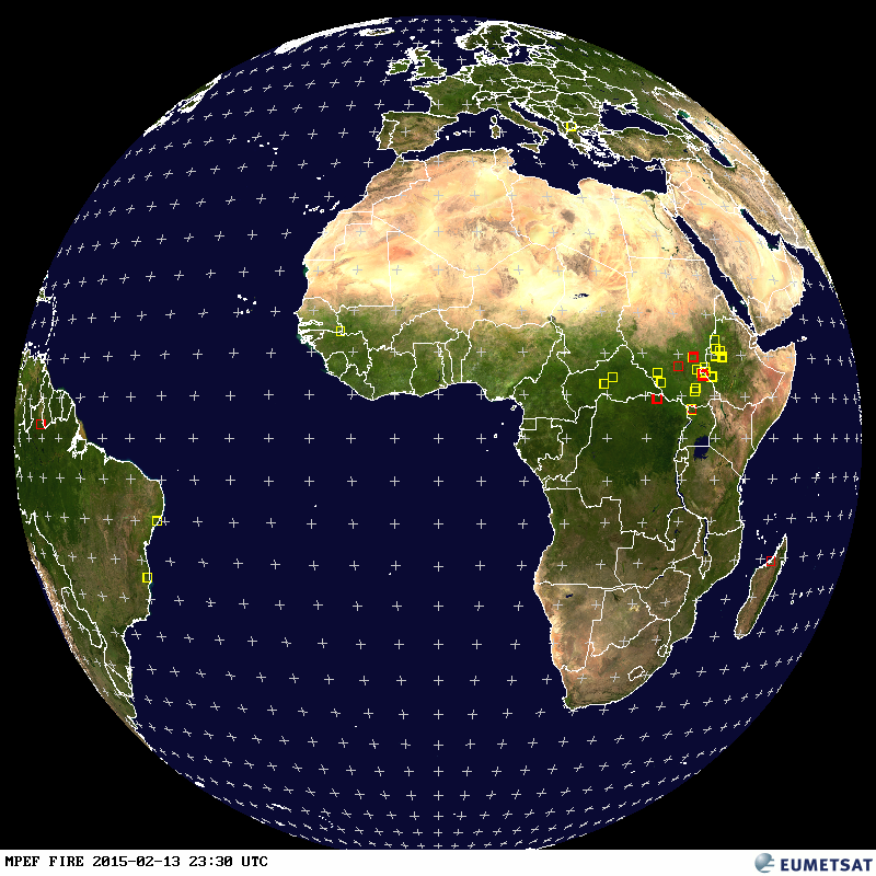
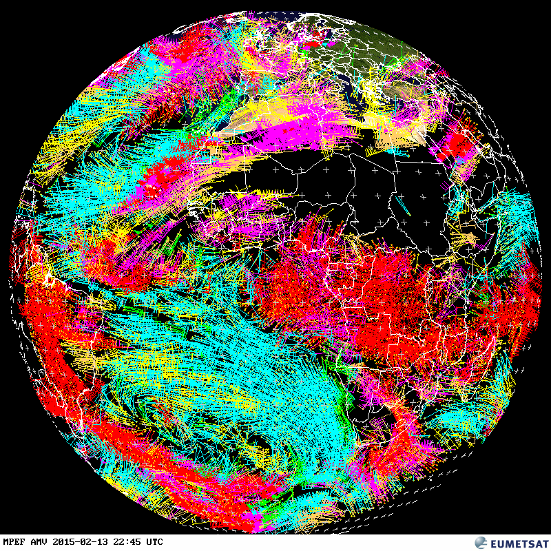
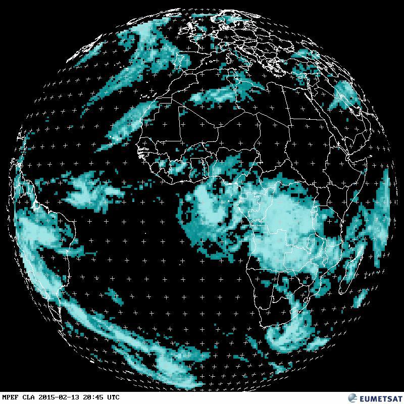
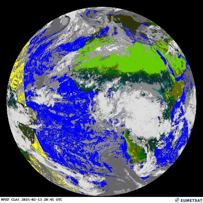
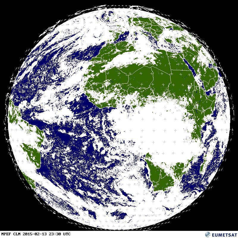
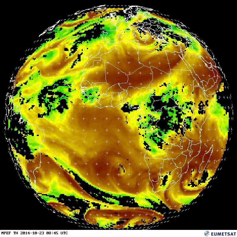
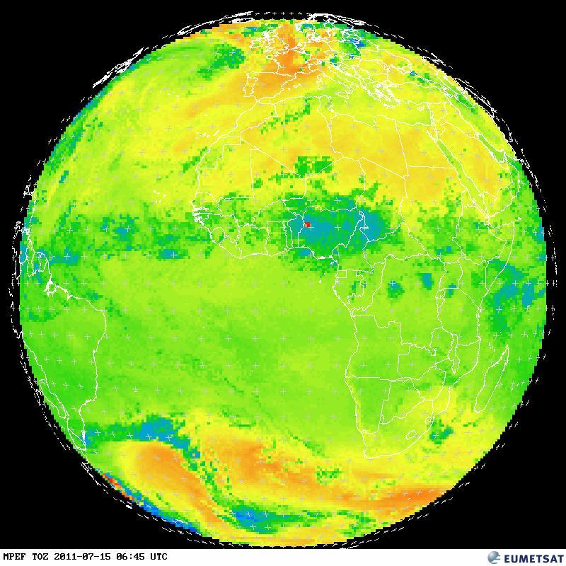
Tropical Cyclone Jasmine

By February 8, 2012, Tropical Cyclone Jasmine had traveled eastward past the island of New Caledonia. The Moderate Resolution Imaging Spectroradiometer (MODIS) on NASA’s Terra satellite captured this natural-color image at 9:45 a.m. local time on February 9, 2012. That day, the U.S. Navy’s Joint Typhoon Warning Center (JTWC) reported that Jasmine had maximum sustained winds of 105 knots (195 kilometers per hour) and gusts up to 130 knots (240 kilometers per hour). Located roughly 510 kilometers (275 nautical miles) east-southeast of Noumea, New Caledonia, the storm was expected to continue moving in an eastward direction and to weaken. NASA image courtesy Jeff Schmaltz, LANCE/EOSDIS MODIS Rapid Response Team at NASA GSFC. Caption by Michon Scott.

EUMETSAT IPPS animation –

AF.mil – Home

public domain

Météo-France

Looking Inside Hurricane Rina

After a two-week period without any named storms, the 2011 Atlantic hurricane season revived in late October with the arrival of Hurricane Rina. The storm, which began as a tropical depression on October 23 in the western Caribbean, is adding misery and destruction to a region that has been battered by heavy rain and flooding events. The Tropical Rainfall Measuring Mission (TRMM) collected these images of Rina at 8:06 Universal Time (3:06 am Central Daylight Time) on October 26, 2011, while located about 200 miles (330 kilometers) east of Belize. The top image shows a nadir, or straight down, view of rain intensities within Rina. Rain rates in the center of the field of view (or swath) are measured by the TRMM Precipitation Radar (PR). Those in the outer edges of the swath come from the TRMM Microwave Imager (TMI). Rain rates are overlaid on visible and infrared data from the TRMM Visible Infrared Scanner.

EUMETSAT IPPS animation –