
´Solide Prognosen nur bis drei Tage´ | Wissen | Deutsche Welle | 13.08.2011
Weitere Unterabschnitte: aktuelle Daten | Satelliten | Klimawandel | Erdbeben - Tsunami
Wetter und Klima
pennstatelive – Flickr
-
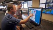
- Weather Wall (1)

-
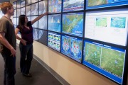
- Weather Wall (2)
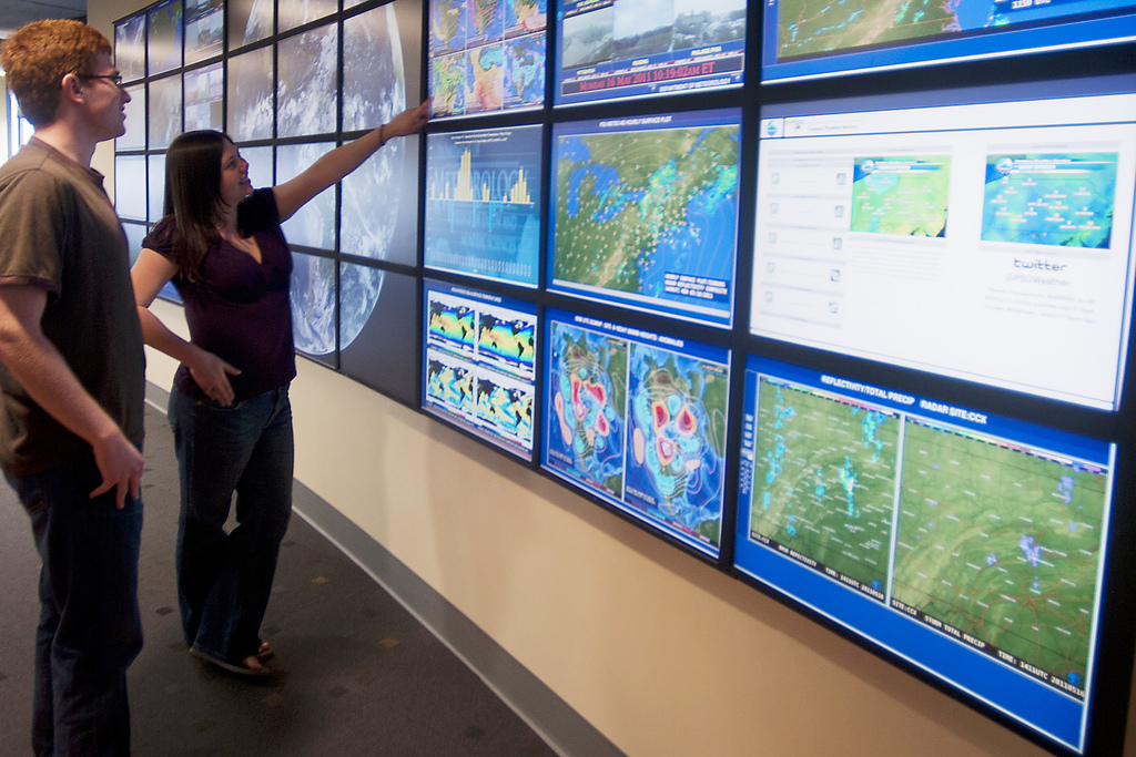
Bild: pennstatelive
Klimawandel
Why Open Source and Open Standards are Essential to Combat Disastrous Global Climate Change | opensource.com

Bild: CC opensource.com
1/2011 – BUND für Umwelt und Naturschutz Deutschland

Bild: BUNDmagazin 1/2011
Wetterkarten
Klimawandel
Arschloch!
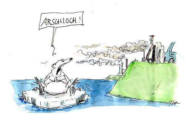
Bild: Verkleinertes Original mit freundlicher Genehmigung Thomas Plaßmann
Die unberechtigte Nutzung ist nicht gestattet.
Die unberechtigte Nutzung ist nicht gestattet.
Erdbeben - Tsunami
Japan’s Coastline Before and After the Tsunami
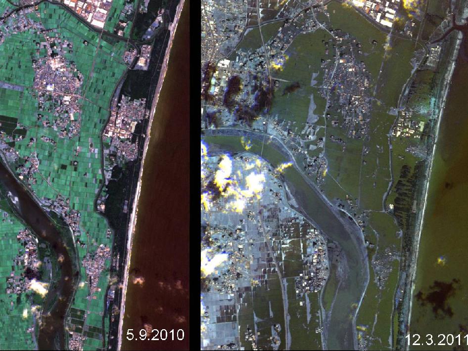
These images show the effects of the tsunami on Japan's coastline. The image on the left was taken on Sept. 5, 2010; the image on the right was taken on March 12, 2011, one day after an earthquake and resulting tsunami struck the island nation.
NASA
Wetterkarten
Da ist weit und breit kein Regen …

Da ist weit und breit kein Regen ...
Bild: Verkleinertes Original mit freundlicher Genehmigung Ritsch & Renn
Die unberechtigte Nutzung ist nicht gestattet.
Die unberechtigte Nutzung ist nicht gestattet.
Klimawandel
Campact | Klima | Eis-Domino vor dem Brandenburger Tor fordert mehr Klimaschutz
Erdbeben - Tsunami
CAVE worldwide earthquake data

The CAVE at INL's Center for Advanced Energy Studies can map geographic information such as this representation of earthquake location and magnitude over the past 110 years.
Wetterkarten
Klimawandel
Erdbeben - Tsunami
japan.esri
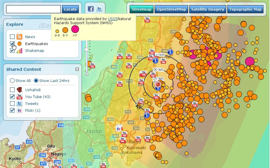
Bild: sam_churchill
Wetterkarten
Allgemeines
Timelaps: Google wertet Erdgeschichte mit Satellitenbildern aus -Video – SPIEGEL ONLINE
Klimawandel
Erdbeben - Tsunami
maximum computed tsunami amplitude
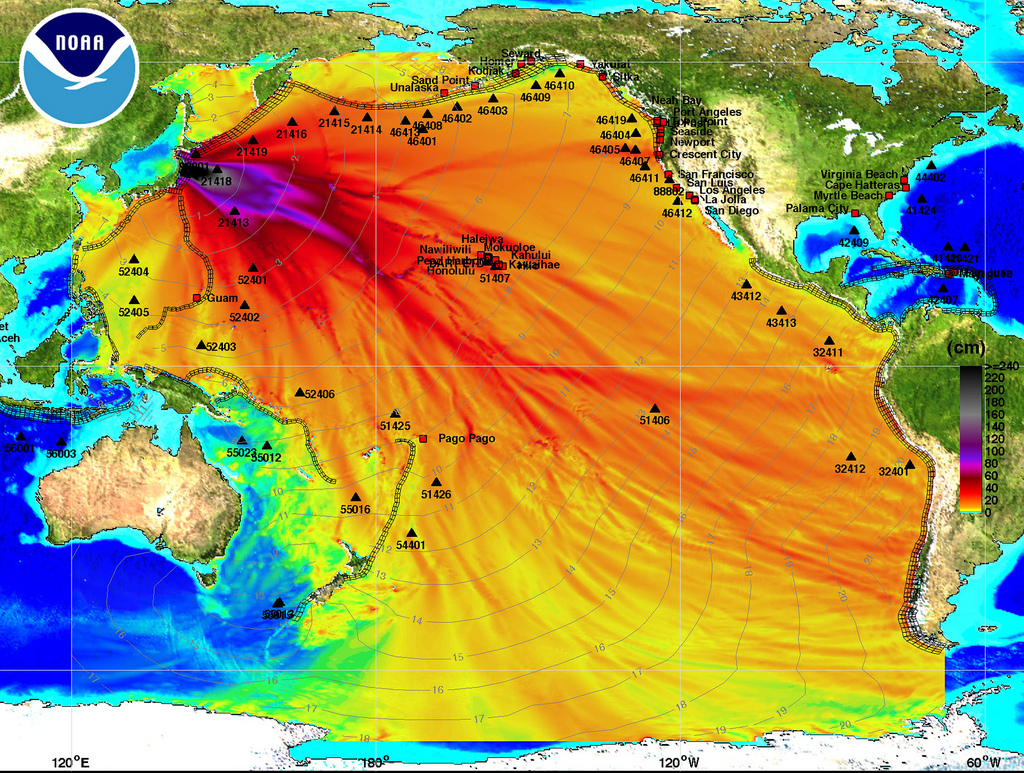
SEATTLE, WA - MARCH 11: In this handout image provided by the National Oceanic and Atmospheric Administration (NOAA), model amplitudes calculated with the MOST forecast model are seen March 11, 2011. Filled colors show maximum computed tsunami amplitude in cm during 24 hours of wave propagation. Black contours show computed tsunami arrival time. A magnitude 8.9 strong earthquake hit the northeast coast of Japan causing Tsunami alerts throughout countries bordering the Pacific Ocean. (Photo by NOAA Center for Tsunami Research via Getty Images)
Bild: Beacon Radio
Klimawandel
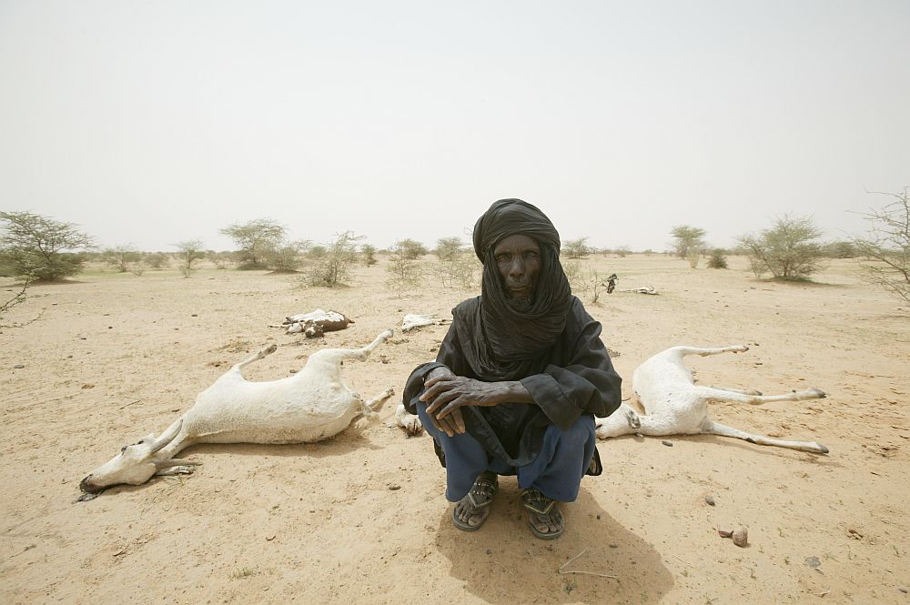
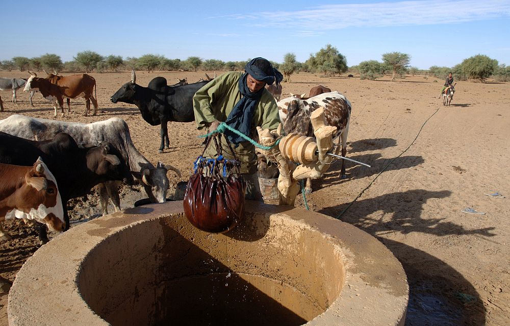
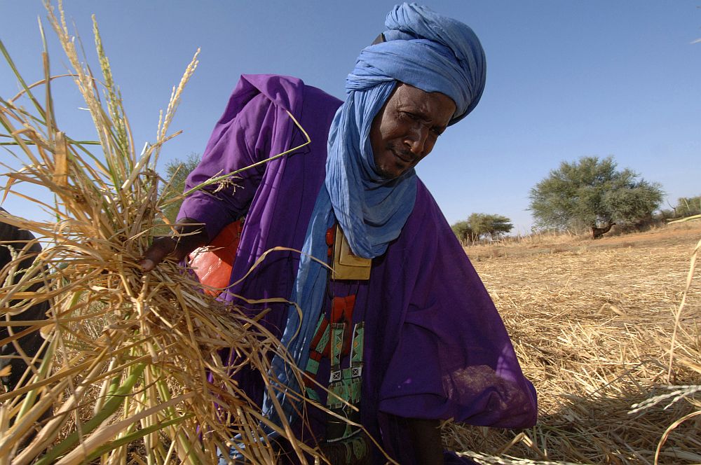
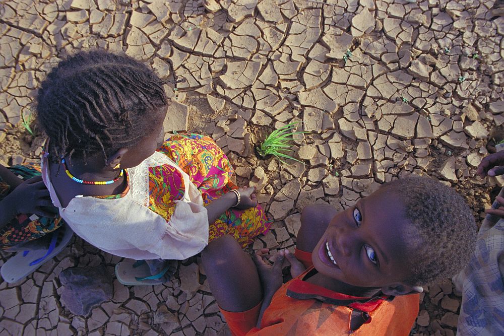
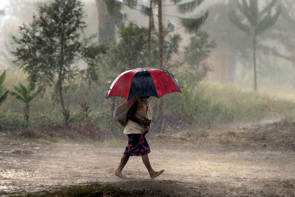
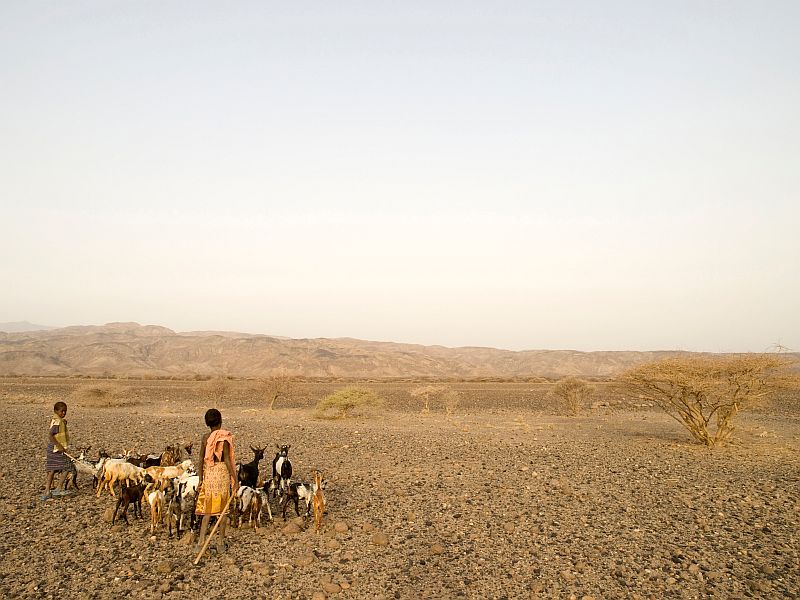
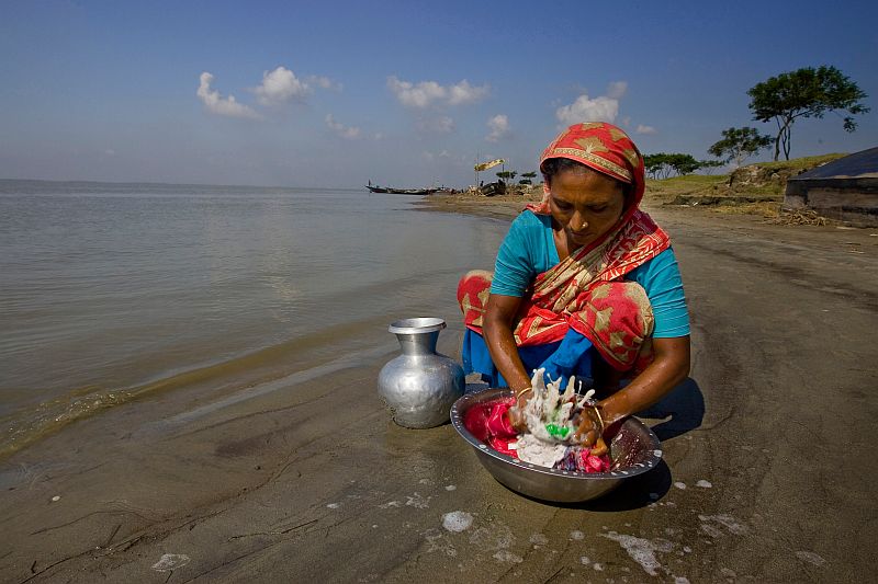
Oxfam Deutschland | Für eine gerechte Welt. Ohne Armut.
-

- Niger – Ousseyni Moussa verlor seine Ziegen.
-
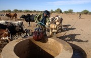
- Mali – Trinkwassergewinnung
-

- Mali – Reisernte
-

- Mauretanien – Hirsepflänzchen
-
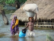
- Indien – Monsunüberschwemmung

-
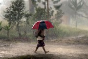
- Papua-Neuguinea – Starke Niederschläge
-
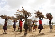
- Uganda – Gefährliche Frauenarbeit

-

- Äthiopien – Dürre
-

- Bangladesch – Überflutungsopfer
Erdbeben - Tsunami
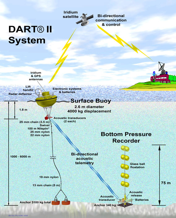
sam_churchill – Flickr
-

- DART II System
-
- ocean.observatory
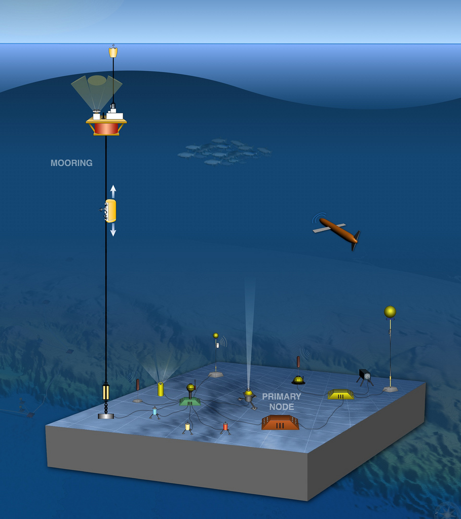
Bild: sam_churchill