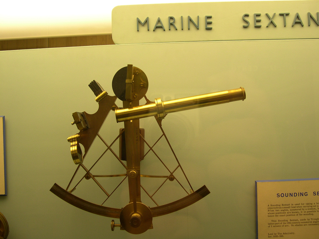
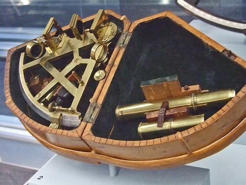
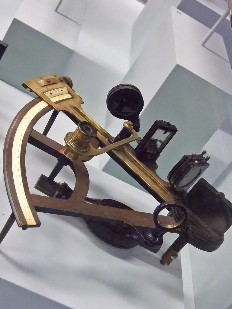
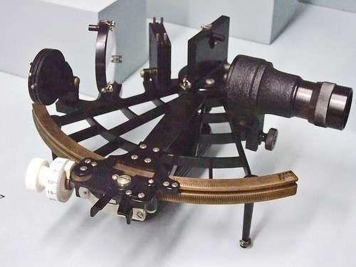
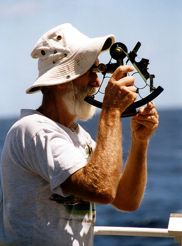
mharrsch – Flickr Sextant with box c 1805 Stancliffe and Company London England Sextant c1895-1920 W Desilva and Company Liverpool England used by Kristian Jacobsen on the three-masted schooner Bella Sextant c 1950 C Plath and Co Hamburg Germany Bild: mharrsch
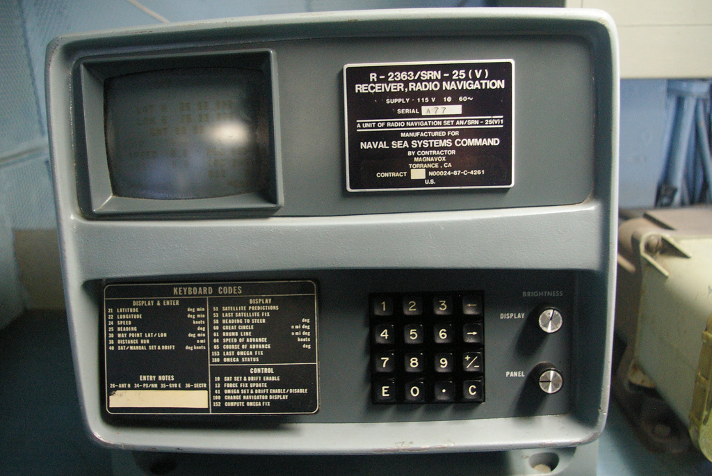
Old school GPS On the bridge of the USS Midway . This navigation system was state of the art near the end of the (long) service life of this aircraft carrier, which was finally decommisioned in 1992.complexify.
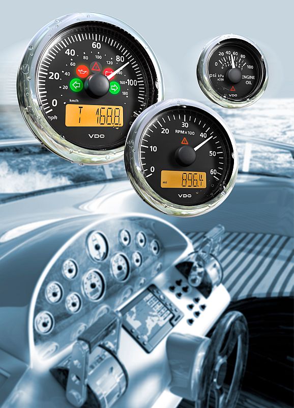
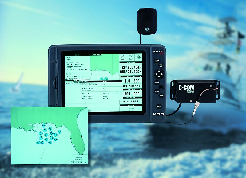
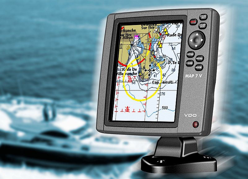
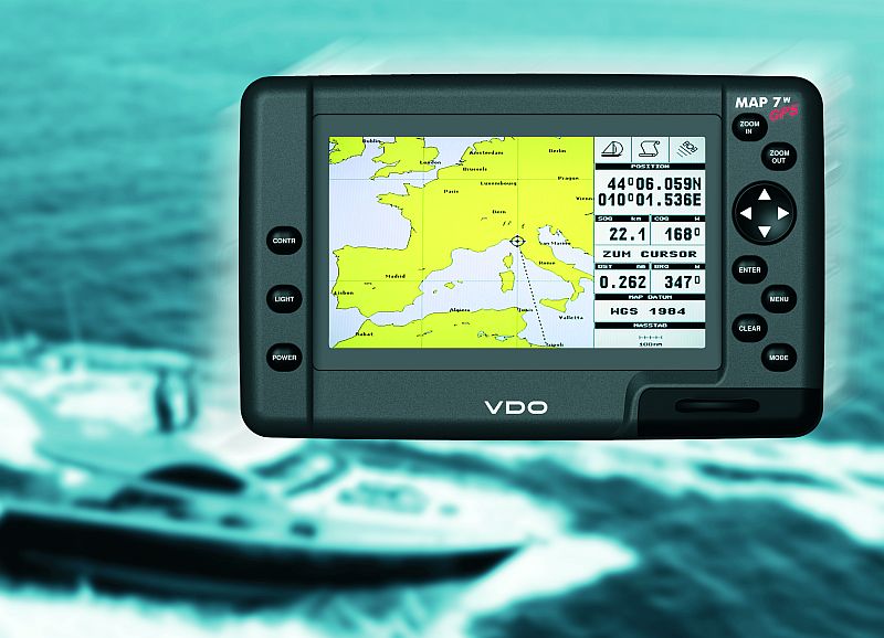
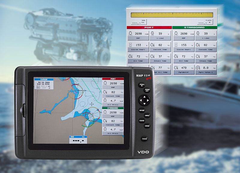
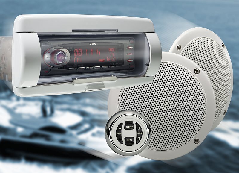
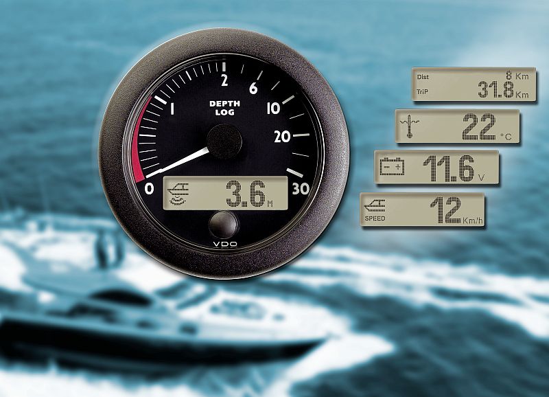
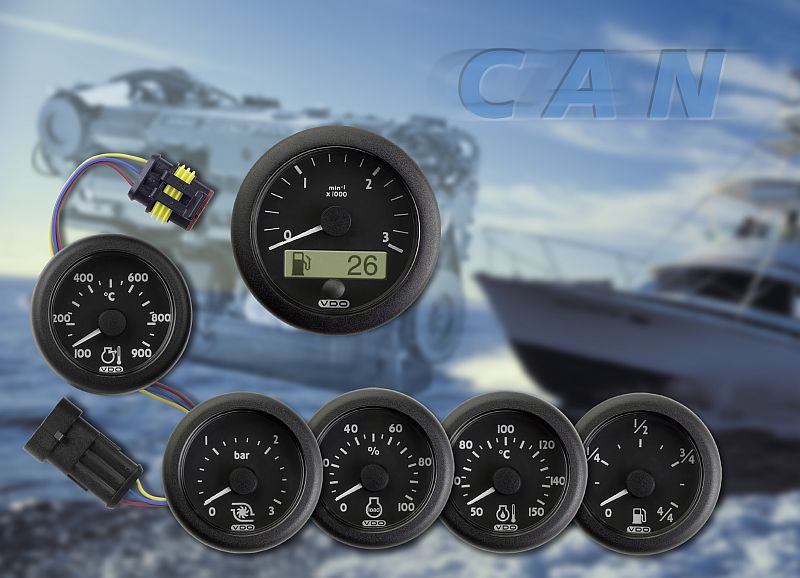
VDO – Home Siemens VDO Viewline instrument series Siemens VDO Up-to-date ocean weather data for maritime navigation The VDO Map 7 V sea-chart plotter further extends the company’s range of maritime navigation systems Widescreen Maritime Navigation – VDO Presents Ocean Map Plotter with 16:9 Aspect Ratio All information at a glance VDO Chart Plotter MAP 11csE now displays engine data on the screen VDO introduces the Marine Audio Line, providing optimal integration of audio systems in sports and leisure craft Four in one: VDO Ocean Line Combi brings together the most important navigational data VDO Ocean Link: The direct line to engine information Mit freundlicher Genehmigung Continental Automotive GmbH