
Weitere Unterabschnitte: Astronomie | Raumfahrt | Raumfahrt 2 | Hubble | Raumstation | Apollo | Marserkundung | GPS (Global Positioning System)
Erd-Beobachtung
Las Vegas, Nevada – Urban Growth 1984-2009
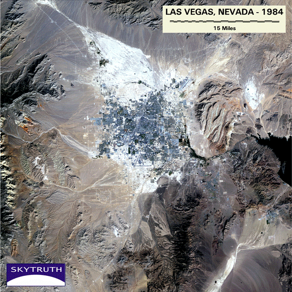
A time-series of Landsat-5 Thematic Mapper satellite images of Las Vegas, Nevada, taken from 1984 to 2009. This is an animated GIF file.
Bild: SkyTruth
Animierte Grafik zeigt die Entwicklung der Großstadt im Verlauf von 25 Jahren
SkyTruth – Flickr
-
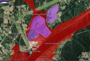
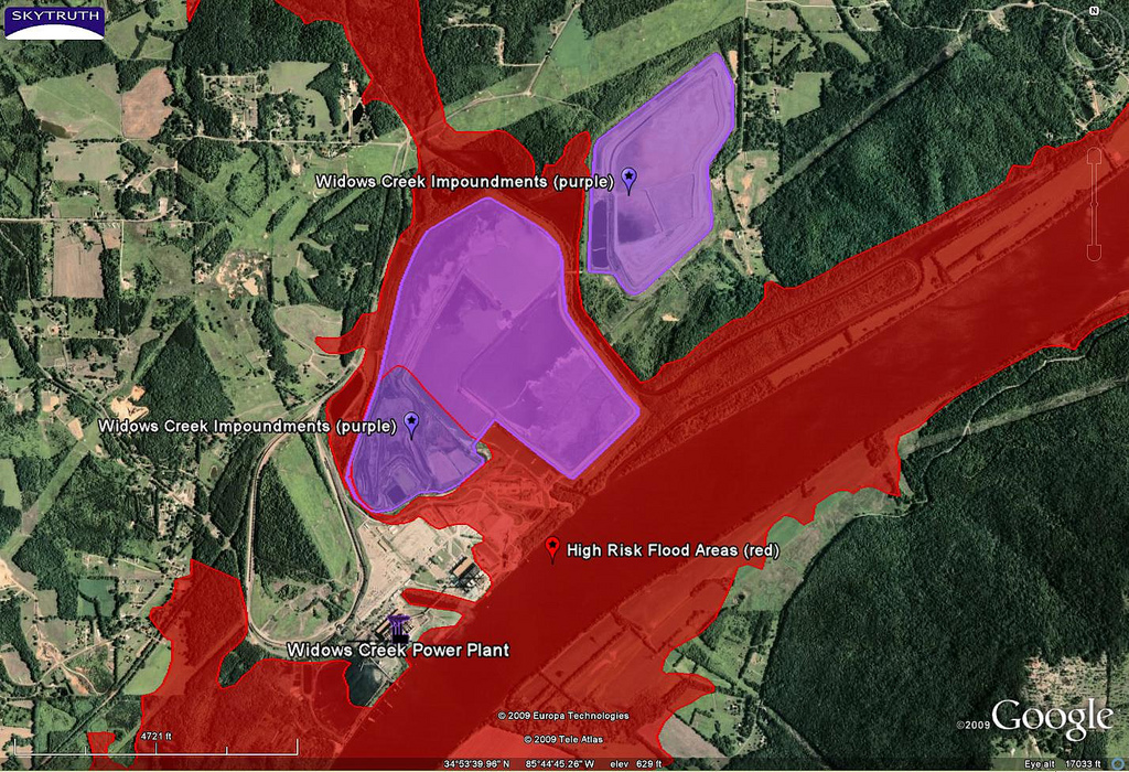
- Widows Creek Power Plant – Impoundments and High Risk Flood Zones | Flickr – Photo Sharing!
-

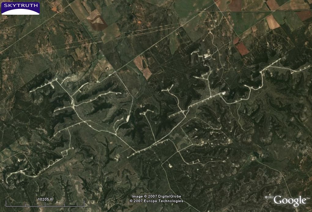
- Wind Farm – Texas | Flickr – Photo Sharing
-
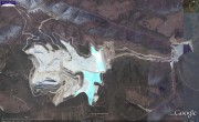
- Fort Knox Gold Mine, Alaska | Flickr – Photo Sharing!

-
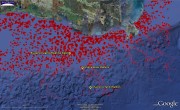
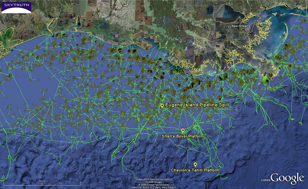
- Eugene Island Pipeline Spill – Location | Flickr – Photo Sharing!
-
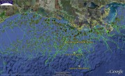
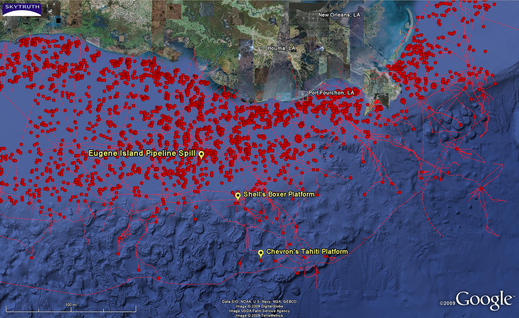
- SkyTruth: EugeneIsland pipelines | Flickr – Photo Sharing!
-
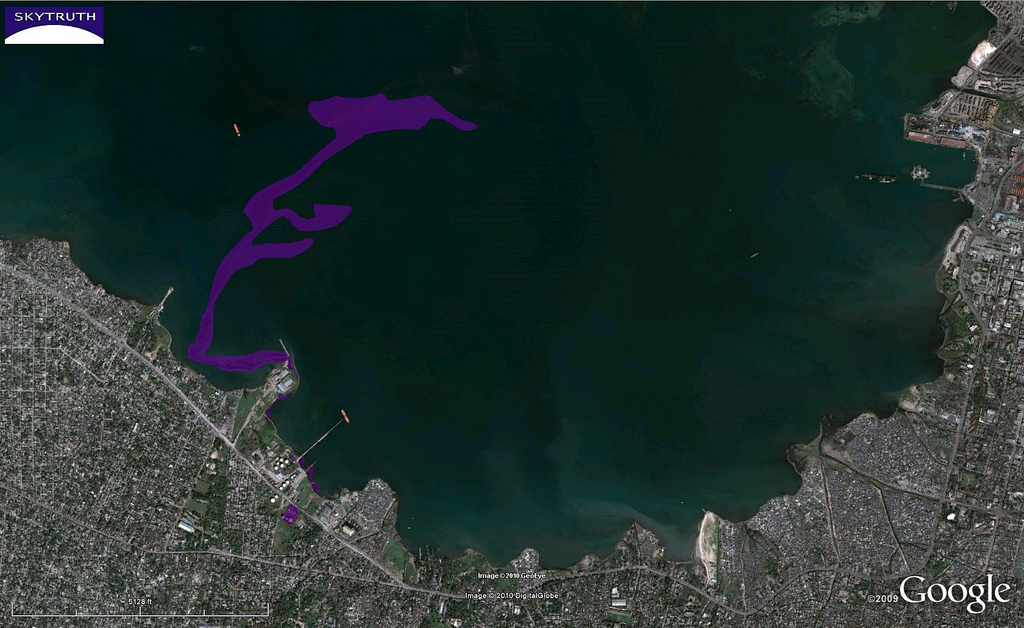
- Haiti Earthquake – Oil Spill, Overview | Flickr – Photo Sharing!
-
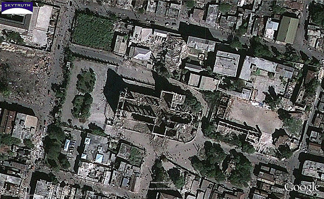
- Haiti Earthquake – Cathedral Area, After | Flickr – Photo Sharing!
-

- Haiti Earthquake – Cathedral Area, Before | Flickr – Photo Sharing!
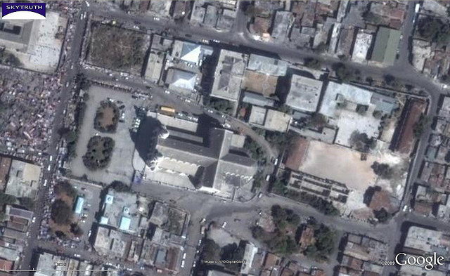
Bild: SkyTruth
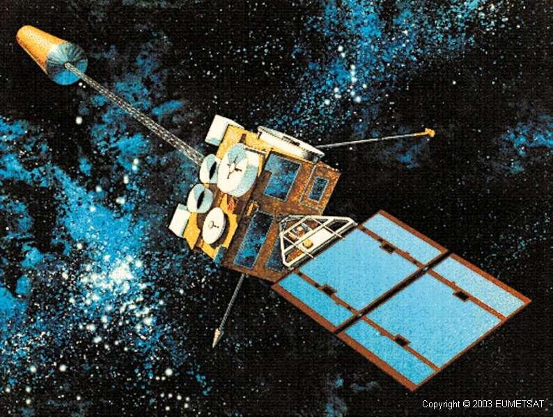
GOES-Satellit
What the eye can see
-

- Meteosat-2 Earth image

-
- ERS-SAR image of earthquake region in Turkey
